
Pico da Esperança
| Pico da Esperança | |
|---|---|
 Pico da Esperança, São Jorge Island | |
| Highest point | |
| Elevation | 1,053 m (3,455 ft) |
| Prominence | 1,053 m (3,455 ft) |
| Parent peak | None - HP São Jorge |
| Coordinates | 38°39′2″N 28°4′27″W / 38.65056°N 28.07417°W |
| Geography | |
 Pico da Esperança | |
| Parent range | Mid-Atlantic Ridge |
| Geology | |
| Mountain type | Fissure vents |
| Last eruption | 1907 |
Pico da Esperança is the highest mountain of São Jorge Island, Azores. Its elevation is 1,053 m.[1] It is situated in the Norte Grande parish, Velas municipality.
References
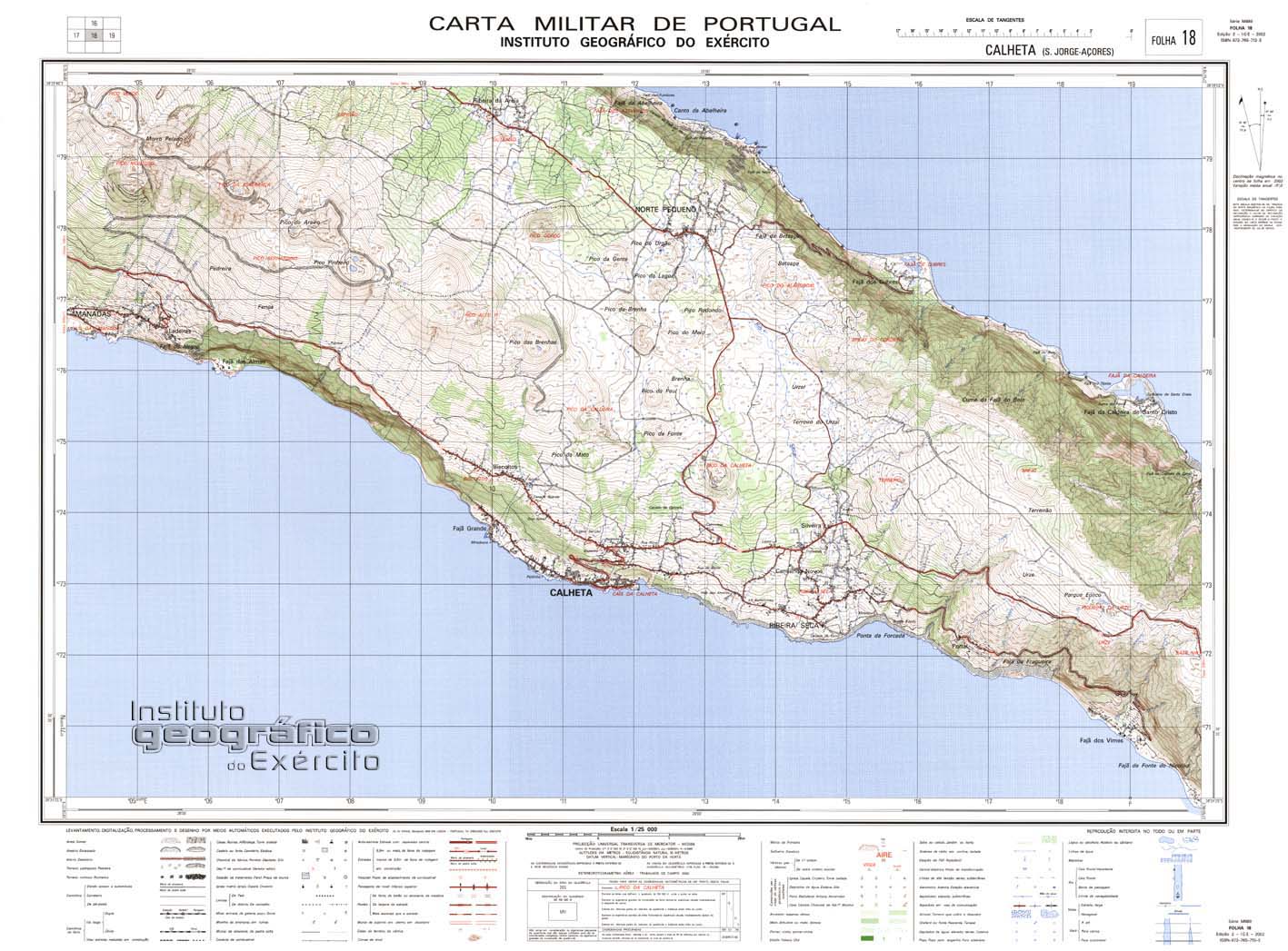
- ^ Map nr. 18 Calheta (S. Jorge, Açores) 1:25,000, Instituto Geográfico do Exército, retrieved 1 December 2015
This Azores location article is a stub. You can help Wikipedia by expanding it. |