Purisima Creek Redwoods Open Space Preserve

The Purisima Creek Redwoods Open Space Preserve is located on the western slopes of historic Kings Mountain in Woodside, California. This 3,360-acre (1,360 ha) preserve was established with a $2 million gift from the Save-the-Redwoods League.
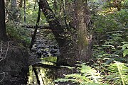
Purisima Creek and several of its tributaries flow through the preserve.
The main entrance for the Purisima Open Space is off the Skyline Boulevard section of State Route 35. The park is notable for its tall coastal redwoods, along with coastal scrub and hardwood forests of tanoak, madrones, and Douglas firs.
The preserve overlooks Half Moon Bay, and has over 21 miles (34 km) of trails for hiking, bicycling, and horseback riding. The popular Redwood Trail is wheelchair accessible. Like many parks in California, dogs are not allowed. The preserve is home to many species of animals, including bobcats, mountain lions, coyotes and rabbits.
The Purisima Open Space is part of the Midpeninsula Regional Open Space District, spanning over 50,000 acres (200 km2) in the San Francisco Bay Area. Parking is available at the main entrance, 4.5 miles (7.2 km) south of Highway 92 on Skyline Boulevard.
Photo gallery
-
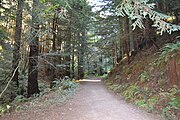
Purisima Creek Trail
-
Another view of the trail
-
Vista
-
Pacific Madrone (Arbutus menziesii)
-
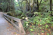
Footbridge along Purisima Creek Trail
-
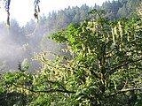
Bigleaf Maple (Acer macrophyllum)
-
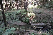
Purisima Creek
-
Another view of the creek
-
Banana slug on Purisima Creek Trail
-
Tree canopies in the Preserve


