
Reichstädt
Reichstädt | |
|---|---|
 Coat of arms | |
Location of Reichstädt within Greiz district 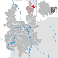 | |
 Reichstädt  Reichstädt | |
| Coordinates: 50°55′30″N 12°14′6″E / 50.92500°N 12.23500°E | |
| Country | Germany |
| State | Thuringia |
| District | Greiz |
| Municipal assoc. | Am Brahmetal |
| Subdivisions | 2 |
| Government | |
| • Mayor | Petra Kirmse |
| Area | |
| • Total | 5.03 km2 (1.94 sq mi) |
| Highest elevation | 287 m (942 ft) |
| Lowest elevation | 245 m (804 ft) |
| Population (2022-12-31)[1] | |
| • Total | 338 |
| • Density | 67/km2 (170/sq mi) |
| Time zone | UTC+01:00 (CET) |
| • Summer (DST) | UTC+02:00 (CEST) |
| Postal codes | 07580 |
| Dialling codes | 036602 |
| Vehicle registration | GRZ |
| Website | www.vg-brahmetal.de |
Reichstädt is a municipality in the district of Greiz, in Thuringia, Germany. The town is member of the municipal association Am Brahmetal.
References
| International | |
|---|---|
| National | |
This Greiz district location article is a stub. You can help Wikipedia by expanding it. |