Norwegian County Road 178
Appearance
(Redirected from Riksvei 178)
| County Road 178 | |
|---|---|
| Bokmål: Fylkesvei 178 Nynorsk: Fylkesveg 178 | |
 | |
 | |
| Route information | |
| Length | 11.1 km (6.9 mi) |
| Location | |
| Country | Norway |
| Highway system | |
| |
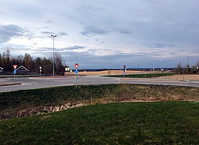
County Road 178 (Norwegian: Fylkesvei 178 or Fv178) runs between Eltonåsen in Nannestad and Jessheim in Ullensaker, Norway. The road is 11.1 kilometers (6.9 mi) long. Prior to 1 January 2010, the road was a national road, but after reclassification, it became a county road.

