Rose-Belle
Appearance
Rose-Belle | |
|---|---|
Town | |
| Coordinates: 20°24′9″S 57°36′22″E / 20.40250°S 57.60611°E | |
| Country | |
| Districts | Grand Port |
| Government | |
| • Type | Municipality |
| Elevation | 270 m (890 ft) |
| Population (2012)[2] | |
• Total | 12,619 |
| Time zone | UTC+4 (MUT) |
| ISO 3166 code | MU-CU |
| Climate | Af |
| Website | Municipal Council |
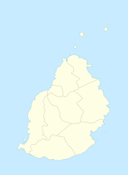
Rose-Belle is a village of southeastern Mauritius. It is located in Grand Port district, ten kilometers west of the district's well known Village, Mahébourg.
References
- ^ http://localgovernment.gov.mu/English/Local%20Authorities/Pages/Municipal-and-District-Councils-in-Mauritius.aspx
- ^ Ministry of Finance & Economic Development (2012). "ANNUAL DIGEST OF STATISTICS 2012" (PDF). 31 December. Government of Mauritius: 22. Retrieved 20 October 2013.
{{cite journal}}: Cite journal requires|journal=(help)

