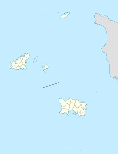
Saint Ouen's Manor
Appearance
| St. Ouen's Manor | |
|---|---|
 A 19th century book illustration. | |
| General information | |
| Town or city | Parish of St. Ouen |
| Country | Jersey |
| Coordinates | 49°13′32″N 2°11′56″W / 49.225614°N 2.198978°W |
| Construction started | 12th Century |

St. Ouen's Manor is a manor house in the parish of St. Ouen, Jersey, and is the traditional home of the Seigneur of St. Ouen, and the ancestral home of the De Carteret family.[1][2]
The earliest record of the house dates from 1135.[3]
As a part of the 1940 Jersey local elections, the manor was offered to the victor, Edward Campbell. However, Campbell became disillusioned with the idea, and declined.[4]
The house and grounds remain intact today, and the house is a private home for the De Carteret family. It is occasionally open to the public.
See also
References
- ^ "Home". St Ouen's Manor. Retrieved 17 July 2018.
- ^ "Manor and Gardens". St Ouen's Manor. Retrieved 17 July 2018.
- ^ "Archived copy". Archived from the original on 2 May 2012. Retrieved 30 March 2012.
{{cite web}}: CS1 maint: archived copy as title (link) - ^ Forty, George (2002). Channel Islands: Jersey, Guernsey, Alderney, Sark. Leo Cooper.
Wikimedia Commons has media related to Saint Ouen's Manor.

