
Schwaara
Schwaara | |
|---|---|
Location of Schwaara within Greiz district 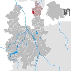 | |
 Schwaara  Schwaara | |
| Coordinates: 50°54′11″N 12°8′34″E / 50.90306°N 12.14278°E | |
| Country | Germany |
| State | Thuringia |
| District | Greiz |
| Municipal assoc. | Am Brahmetal |
| Government | |
| • Mayor | Jürgen Matthes |
| Area | |
| • Total | 3.56 km2 (1.37 sq mi) |
| Highest elevation | 286 m (938 ft) |
| Lowest elevation | 240 m (790 ft) |
| Population (2022-12-31)[1] | |
| • Total | 130 |
| • Density | 37/km2 (95/sq mi) |
| Time zone | UTC+01:00 (CET) |
| • Summer (DST) | UTC+02:00 (CEST) |
| Postal codes | 07554 |
| Dialling codes | 0365 |
| Vehicle registration | GRZ |
| Website | www.elektro-matthes.de/vg/sch.htm |
Schwaara is a municipality in the district of Greiz, in Thuringia, Germany. The town is member of the municipal association Am Brahmetal.
References
| International | |
|---|---|
| National | |
This Greiz district location article is a stub. You can help Wikipedia by expanding it. |