
Serra de Santa Bárbara
You can help expand this article with text translated from the corresponding article in Portuguese. (September 2010) Click [show] for important translation instructions.
|
Serra de Santa Bárbara is a mountain in the western part of the island of Terceira, Azores, Portugal. At 1,021 m elevation, it is the highest point of the island.[1] It is named after the village Santa Bárbara, in the municipality of Angra do Heroísmo. It is an inactive vulcano.
References
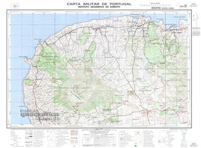
- ^ Map nr. 22 Biscoitos (Terceira, Açores) 1:25,000, Instituto Geográfico do Exército, retrieved 7 December 2015

38°43′47″N 27°19′6″W / 38.72972°N 27.31833°W
This Azores location article is a stub. You can help Wikipedia by expanding it. |