Yurajcocha
Appearance
| Yurajcocha | |
|---|---|
| Tintayari / Huampuni | |
| Location | Peru Junín Region |
| Coordinates | 12°33′06″S 75°29′24″W / 12.55167°S 75.49000°W |
| Max. length | 5 km (3.1 mi) |
| Max. width | 0.84 km (0.52 mi) |
| Surface elevation | 4,466 m (14,652 ft) |
| Yurajcocha Dam | |
|---|---|
| Dam and spillways | |
| Height | 10.2 m (33 ft) |
| Power Station | |
| Operator(s) | Electroperu |
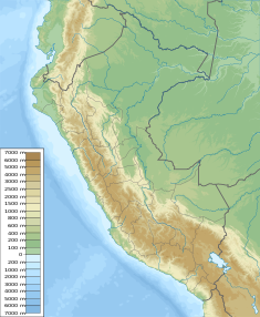
Yurajcocha (possibly from Quechua yuraq white, qucha lake,[1] "white lake"), Tintayari or Huampuni (possibly from Aymara wampu boat, -ni, a suffix, "the one with a boat") is a lake in Peru located in the Junín Region, Huancayo Province, Chongos Alto District.[2] It is situated at a height of approximately 4,466 metres (14,652 ft), about 5 km long and 0.84 km at its widest point. Yurajcocha lies north of Acchicocha and northeast of Huichicocha. The lake belongs to the watershed of the Mantaro River.[3]
In 1999 the Yurajcocha dam was built at the northern end of the lake at 12°31′56.8″S 75°29′46.49″W / 12.532444°S 75.4962472°W. The dam is 10.2 m (11.2 yd) high. It is operated by Electroperu.[3]
References
- ^ Teofilo Laime Ajacopa (2007). Diccionario Bilingüe: Iskay simipi yuyayk’anch: Quechua – Castellano / Castellano – Quechua (PDF). La Paz, Bolivia: futatraw.ourproject.org.
- ^ escale.minedu.gob.pe - UGEL map of the Huancayo Province (Junín Region)
- ^ a b Obras hidraulicos en la cuenca de Mantaro - fuente : fuente: Electroperu - Inventario proyectos de afianzamiento hidrico Cuenca del Rio Mantaro, 2005

