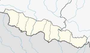
Balan-Bihul Rural Municipality
Appearance
Balan Bihul
बलान-बिहुल | |
|---|---|
| Local level map of Saptari District Local level map of Saptari District | |
| Coordinates: 26°35′N 86°31′E / 26.59°N 86.51°E | |
| Country | |
| Development Region | Central |
| Province | Madhesh Province |
| District | Saptari District |
| Government | |
| • Chairperson | Khem Chandra Yadav (Janamat) |
| • Deputy chairperson | Renu Yadav (Janamat) |
| Area | |
| • Total | 118.19 km2 (45.63 sq mi) |
| Population (2011) | |
| • Total | 26,068 |
| • Density | 220/km2 (570/sq mi) |
| • Ethnicities | Yadav Sah(teli) Mandals (dhanuk) Muslims Das(Baniya) Mehtas Mushars Maithil Brahamins |
| • Religion | Hinduism Islam |
| Languages | |
| • Local | Maithili |
| • Official | Nepali |
| Time zone | UTC+5:45 (Nepal Time) |
| Postal Code | 56406[1] |
| Area code | 031 |
| Website | balanbihulmun |
Balan-Bihul is a rural municipality in Saptari District in Province No. 2 of south-eastern Nepal. At the time of the 2017 Nepal census it had a population of 26,068 people living in 6,560 individual households. There are six village development committees (wards) malhaniya, belhi, mauwha, sehra, madirwala tol etc. lies under this gaupalika. [2])
References
- ^ "POSTAL CODE, Province 2". Postal Services Department, Nepal Government. Retrieved 3 July 2019.
- ^ "स्थानिय तह". 103.69.124.141. Archived from the original on 31 August 2018. Retrieved 3 October 2018.


