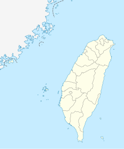
Caoling
Appearance
Caoling Village 草嶺村 | |
|---|---|
 | |
| Coordinates: 23°35′29.5″N 120°41′05.8″E / 23.591528°N 120.684944°E | |
| Location | Gukeng Township, Yunlin County, Taiwan |
Caoling (Chinese: 草嶺; pinyin: Cǎolǐng) is a rural village in Gukeng Township, Yunlin County, Taiwan. It is 450 metres (1,476 ft) to 1,750 metres (5,741 ft) above sea level. The area measures approximately one thousand hectares.[1]
Mountains around Caoling are prone to landslides, and four barrier lakes have formed around the area. The most recent one, New Caoling Lake, existed between 1999 and 2004.[2]
Transportation
Caoling is located on County Route 149 and accessible by bus from Douliu Station of the Taiwan Railways Administration.
References
- ^ "Attractions > Hot Spots > Yunlin County > Caoling >". Archived from the original on 2014-05-05. Retrieved 2014-05-05.
- ^ 黃淑莉 (22 August 2008). "草嶺潭四度形成四度消失/土石淤積 造就全球紀錄" (in Chinese (Taiwan)). Liberty Times. Retrieved 15 November 2020.
External links
- 草嶺地質公園資訊網 (in Chinese)
- Caoling on OSM

