Cumbernauld and Kilsyth (district)
55°57′36″N 4°01′08″W / 55.960°N 4.019°W

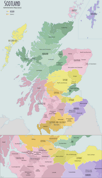
Cumbernauld and Kilsyth was one of nineteen local government districts in the Strathclyde region of Scotland between 1975 and 1996.[1]
The district was formed by the Local Government (Scotland) Act 1973 from parts of the counties of Dunbartonshire and Stirlingshire, namely:
- From Dunbartonshire:
- The burgh of Cumbernauld
- Part of the district of Kirkintilloch and Cumbernauld
- From Stirlingshire:
- The burgh of Kilsyth
- Part of the Central No.2 district
The district was abolished in 1996 by the Local Government etc. (Scotland) Act 1994, which replaced regions and districts with unitary council areas. The area of Cumbernauld and Kilsyth was merged with those of Monklands and Motherwell Districts and the Chryston and Auchinloch areas of Strathkelvin District to form the North Lanarkshire council area.
Cumbernauld and Kilsyth remains a constituency of the Scottish Parliament and was formerly a constituency of the House of Commons.
See also
References
- ^ Cumbernauld & Kilsyth, Undiscovered Scotland

