
Kaimana
Kaimana | |
|---|---|
Town | |
 Kaimana public secondary school | |
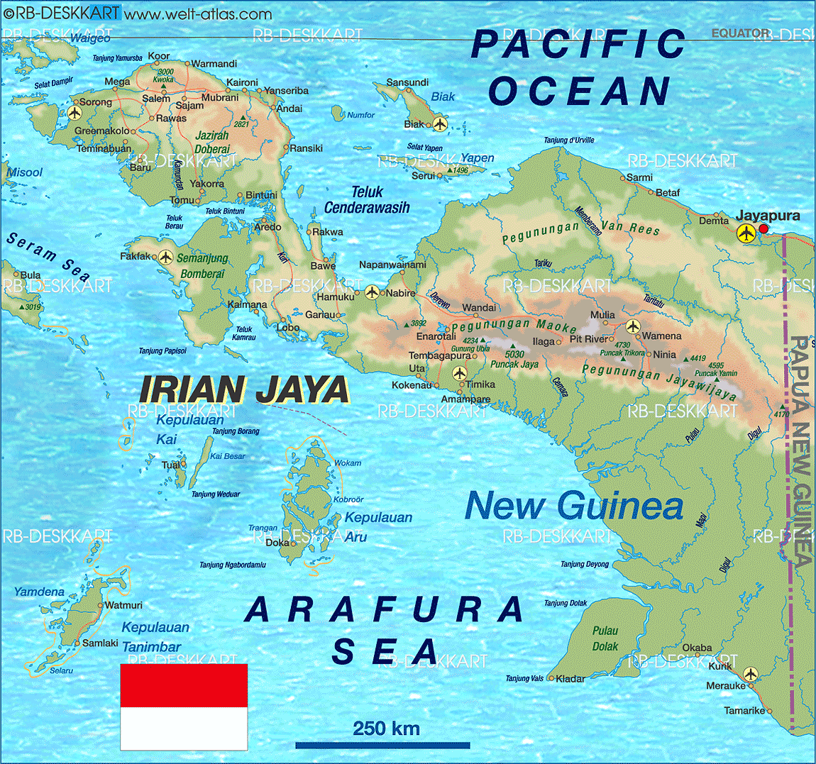
 Kaimana Location of the town in Indonesian Papua | |
| Coordinates: 3°38′40″S 133°41′43″E / 3.64444°S 133.69528°E | |
| Country | |
| Province | West Papua |
| Regency | Kaimana Regency |
| Population (2010 Census) | |
| • Total | 13,613 |
| Time zone | UTC+9 (WIT) |
Kaimana is a small port town in West Papua, Indonesia and capital of the Kaimana Regency.[1] It had a population of 13,613 at the 2010 Census.[2]
In March 2007, the Indonesian Navy conducted a training exercise off the coast of Kaimana in Kaimana Bay.[3]
Transport

It is served by Utarom Airport.
Environment
Kaimana is part of a Sea Conservation Area in West Papua.[4] Butterflies in the surrounding forest of Karora are reported to be on the brink of extinction due to logging in the district.[5]
Whales such as Bryde's whales can be seen in nearby waters such as in the Triton Bay.[6][7][8]
Climate
Kaimana has a tropical rainforest climate (Af) with heavy rainfall year-round.
| Climate data for Kaimana | |||||||||||||
|---|---|---|---|---|---|---|---|---|---|---|---|---|---|
| Month | Jan | Feb | Mar | Apr | May | Jun | Jul | Aug | Sep | Oct | Nov | Dec | Year |
| Mean daily maximum °C (°F) | 30.5 (86.9) |
30.5 (86.9) |
30.2 (86.4) |
29.7 (85.5) |
28.9 (84.0) |
27.8 (82.0) |
26.8 (80.2) |
26.9 (80.4) |
27.8 (82.0) |
29.0 (84.2) |
30.0 (86.0) |
30.6 (87.1) |
29.1 (84.3) |
| Daily mean °C (°F) | 26.3 (79.3) |
26.3 (79.3) |
26.3 (79.3) |
26.1 (79.0) |
25.8 (78.4) |
24.9 (76.8) |
24.2 (75.6) |
24.2 (75.6) |
24.8 (76.6) |
25.6 (78.1) |
26.3 (79.3) |
26.5 (79.7) |
25.6 (78.1) |
| Mean daily minimum °C (°F) | 22.2 (72.0) |
22.2 (72.0) |
22.4 (72.3) |
22.5 (72.5) |
22.7 (72.9) |
22.0 (71.6) |
21.7 (71.1) |
21.6 (70.9) |
21.9 (71.4) |
22.2 (72.0) |
22.6 (72.7) |
22.4 (72.3) |
22.2 (72.0) |
| Average rainfall mm (inches) | 245 (9.6) |
250 (9.8) |
241 (9.5) |
264 (10.4) |
291 (11.5) |
204 (8.0) |
165 (6.5) |
170 (6.7) |
131 (5.2) |
158 (6.2) |
225 (8.9) |
239 (9.4) |
2,583 (101.7) |
| Source: Climate-Data.org[9] | |||||||||||||
References
- ^ Welt Atlas
- ^ Biro Pusat Statistik, Jakarta, 2011.
- ^ "Indonesian Navy Exercise in West Papua". Sentral Info AMP. April 24, 2007. Archived from the original on October 7, 2008. Retrieved June 23, 2010.
- ^ "Residents Kaimana, West Papua, watchtower preservation of the Sea". Ministry of Marine Affairs and Fisheries. November 26, 2008. Retrieved June 23, 2010.[permanent dead link]
- ^ "Butterflies Endangered: Kaimana, West Irian Jaya". Planet Mole. September 5, 2006. Archived from the original on July 20, 2011. Retrieved June 23, 2010.
- ^ "Edeni - Mammals of Papua". Archived from the original on 2014-04-26. Retrieved 2014-04-26.
- ^ Archived at Ghostarchive and the Wayback Machine: "Whale in Triton Bay, Papua.AVI". YouTube.
- ^ "Wonderful Indonesia - the Bay of Triton". Archived from the original on 2014-04-27. Retrieved 2014-04-26.
- ^ "Climate: Kaimana". Climate-Data.org. Retrieved 26 November 2020.
This West Papua location article is a stub. You can help Wikipedia by expanding it. |