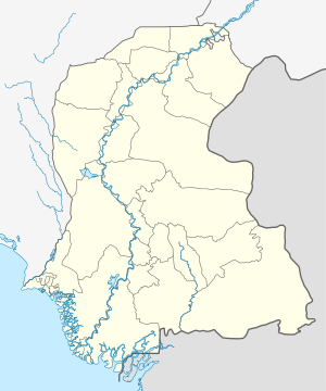
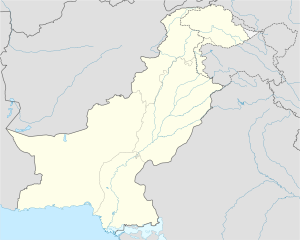
Kazi Ahmed Taluka
Appearance
Qazi Ahmed
قاضی احمد | |
|---|---|
Town | |
| Coordinates: 26°8′17″N 68°16′23″E / 26.13806°N 68.27306°E | |
| Country | |
| Province | |
| Division | Shaheed Benazir Abad |
| District | Nawabshah District |
| Elevation | 25 m (82 ft) |
| Population | |
• City | 24,305 |
| Time zone | UTC+5 (PST) |
| Calling code | 0244 |
This article needs additional citations for verification. (November 2016) |
Kazi Ahmed also Qazi Ahmed, is a town in Shaheed Benazir Abad District (formerly Nawabshah), Sindh province, Pakistan. The town lies on the National Highway between Moro and Sakrand cities. After the construction of Amri Bridge, Kazi Ahmed has become a commercial hub for locals.
The town is named after Qazi Ahmad Dimmai (Qudus Sarhu), an 18th-century Sufi saint[2] who settled in the area and whose shrine is in the town as well.
Geography
During summer, temperatures reach up to 51 degrees Celsius. Furthermore, the town is surrounded by agricultural land where a wide variety of crops are cultivated. These crops include sugarcane, wheat, rice, and cotton.
Transportation
- N-5 National Highway (kilometre marker 275).
- Nawabshah to Kazi Ahmed Road.
- Qazi Ahmed to Daur
- Qazi Ahmed to lakhat
- Qazi Ahmed to Aamri Bridge
References
- ^ "Sindh (Pakistan): Province, Major Cities, Municipalites [sic] & Towns - Population Statistics, Maps, Charts, Weather and Web Information".
- ^ "Prominent Devotees | Dargah Luari Sharif". www.luarisharif.com. Retrieved 2018-12-02.


