
Shienga
Shienga (Shinga[1]) is a village in East Mamprusi district, of the Northern Region of Ghana.[2] It lies at an elevation of 349 meters near the right (southern) bank of the White Volta.[3]
Notes[edit]
- ^ Shinga (Variant) at GEOnet Names Server, United States National Geospatial-Intelligence Agency
- ^ Shienga (Approved) at GEOnet Names Server, United States National Geospatial-Intelligence Agency
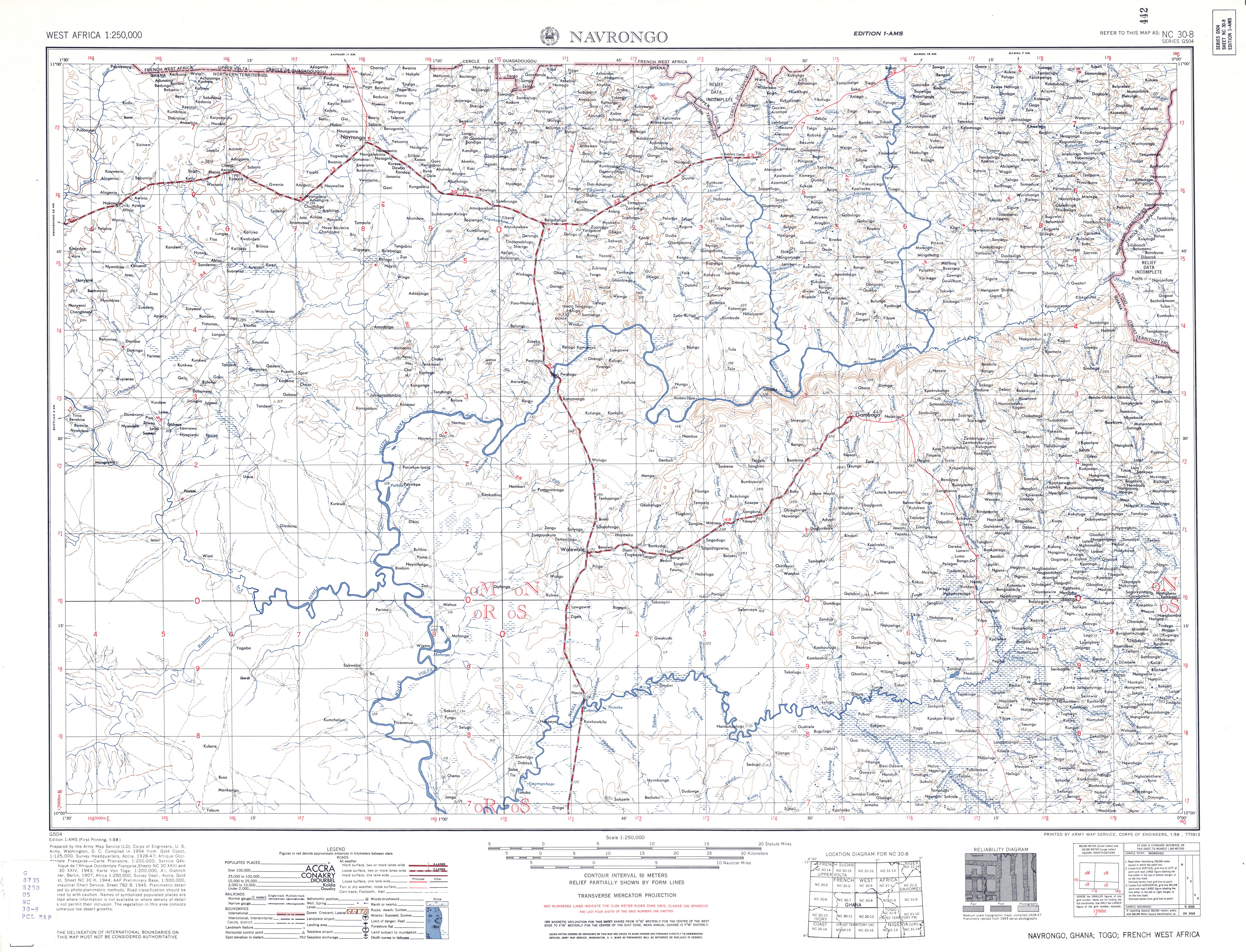
- ^ NC 30-08, Navrongo, Ghana (Map). 1:250,000. U.S. Army Map Service. January 1958.
10°31′32″N 0°31′46″W / 10.52556°N 0.52944°W