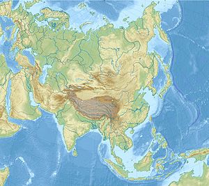
Nangalam
Appearance
Nangalam | |
|---|---|
Town | |
| Coordinates: 34°58′19″N 70°54′30″E / 34.9719°N 70.9082°E | |
| Country | Afghanistan |
| Province | Kunar |
| District | Dara-I-Pech |
| Time zone | UTC+04:30 (Afghanistan Standard Time) |
Nangalam is a town in Pech Valley in Kunar Province of Afghanistan.[1] It is situated at the junction of Pech and Waygal rivers.[2][3]
Demographics
[edit]Most residents of Nangalam today are Safi Pashtuns.[3][4]
History
[edit]Nangalam has been at the center of many conflicts. It was razed by Soviet-backed Afghan forces in 1978.[3]
During the War in Afghanistan, U.S. forces built a military base in Nangalam. After suffering heavy casualties, U.S. troops had to retreat from the base in 2011. Surprisingly, Afghan forces later were successful in bringing peace to the region on their own.[5]

References
[edit]- ^ Ward, Clarissa (2012-01-12). "Nangalam: A symbol of the Afghan war's troubles - CBS News". www.cbsnews.com. Retrieved 2024-08-25.
- ^ d'Hage, Adrian (2018-07-02). The Russian Affair. Penguin Group Australia. ISBN 978-1-74348-421-0.
- ^ a b c Wanat: Combat Action in Afghanistan, 2008. Combat Studies Institute Press, US Army Combined Arms Center. 2010. ISBN 978-0-9841901-8-8.
- ^ Lockyer, Adam (2017-09-01). Foreign Intervention, Warfare and Civil Wars: External Assistance and Belligerents' Choice of Strategy. Routledge. ISBN 978-1-351-61991-2.
- ^ Ahmed, Azam (2013-08-31). "U.S. Soldiers Find Surprise on Returning to Afghan Valley: Peace". The New York Times. ISSN 0362-4331. Retrieved 2024-08-25.


