
Utah State Route 275: Difference between revisions
Content deleted Content added
Cyberbot II (talk | contribs) Rescuing 1 sources, flagging 0 as dead, and archiving 0 sources. #IABot |
|||
| Line 27: | Line 27: | ||
==History== |
==History== |
||
SR-275 was designated by the state legislature in 1975<ref name=history>[[Utah Department of Transportation]], [http://www.udot.utah.gov/download.php/tid=1348/StateRouteHistory.pdf State Route History]{{ |
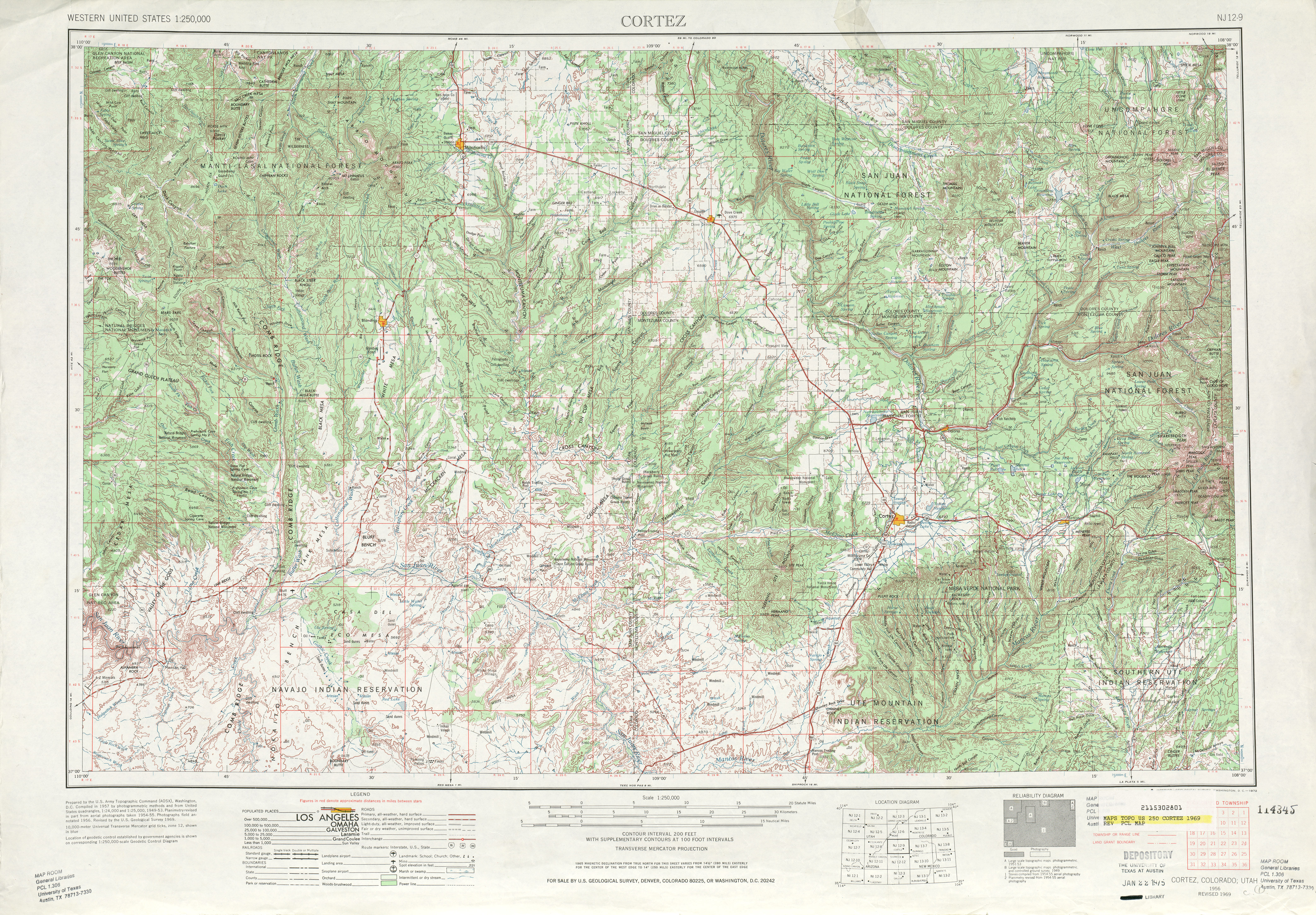
SR-275 was designated by the state legislature in 1975<ref name=history>[[Utah Department of Transportation]], [http://www.udot.utah.gov/download.php/tid=1348/StateRouteHistory.pdf State Route History], accessed July 2007 {{wayback|url=http://www.udot.utah.gov/download.php/tid=1348/StateRouteHistory.pdf |date=20070225155542 }}</ref> along a road that had been built in the 1960s<!--by the county or feds?-->.<ref>[[United States Geological Survey]], [http://www.lib.utexas.edu/maps/topo/250k/txu-pclmaps-topo-us-cortez-1961.jpg Cortez (scale 1:250,000)], 1961</ref><ref>[[United States Geological Survey]], [http://www.lib.utexas.edu/maps/topo/250k/txu-pclmaps-topo-us-cortez-1969.jpg Cortez (scale 1:250,000)], 1969</ref> |
||
==Major intersections== |
==Major intersections== |
||
Revision as of 00:05, 13 January 2016
State Route 275 | ||||
|---|---|---|---|---|
| Route information | ||||
| Maintained by UDOT | ||||
| Length | 3.818 mi[1] (6.144 km) | |||
| Existed | 1975–present | |||
| Major junctions | ||||
| South end | ||||
| North end | Natural Bridges National Monument | |||
| Location | ||||
| Country | United States | |||
| State | Utah | |||
| Highway system | ||||
| ||||
| ||||

State Route 275 is a state highway located entirely within central San Juan County, Utah.
Route description
It runs approximately 4 miles (6.4 km) northwest, from the junction of SR-95 (which is two-miles (3 km) west of the SR-95 and SR-261 junction), to the east entrance of Natural Bridges National Monument. The route forms part of the Trail of the Ancients National Scenic Byway.
History
SR-275 was designated by the state legislature in 1975[2] along a road that had been built in the 1960s.[3][4]
Major intersections
| County | Location | mi[1] | km | Destinations | Notes |
|---|---|---|---|---|---|
| San Juan | | 0.000 | 0.000 | Southern terminus | |
| 3.818 | 6.144 | Natural Bridges National Monument | Northern terminus | ||
| 1.000 mi = 1.609 km; 1.000 km = 0.621 mi | |||||
References
- ^ a b "Highway Reference - SR-275". Utah Department of Transportation. Retrieved 2008-06-23.
- ^ Utah Department of Transportation, State Route History, accessed July 2007 Template:Wayback
- ^ United States Geological Survey, Cortez (scale 1:250,000), 1961
- ^ United States Geological Survey, Cortez (scale 1:250,000), 1969