
File:Russia edcp location map.svg

Size of this PNG preview of this SVG file: 800 × 431 pixels. Other resolutions: 320 × 173 pixels | 640 × 345 pixels | 1,024 × 552 pixels | 1,280 × 690 pixels | 2,560 × 1,381 pixels | 1,181 × 637 pixels.
Original file (SVG file, nominally 1,181 × 637 pixels, file size: 2.59 MB)
| This is a file from the Wikimedia Commons. Information from its description page there is shown below. Commons is a freely licensed media file repository. You can help. |
Summary
| Description |
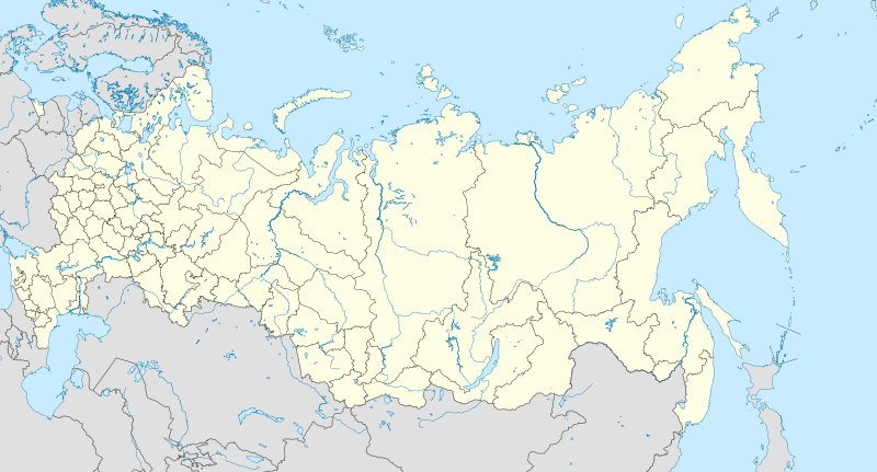
English: Location map of Russia.
EquiDistantConicProjection : Central parallel : * N: 54.0° N Central meridian : * E: 100.0° E Standard parallels: * 1: 49.0° N * 2: 59.0° N Made with Natural Earth. Free vector and raster map data @ naturalearthdata.com. Notice
Russia
other countries
disputed areas
international border
disputed border
Because the southern Kuril islands are claimed by Russia and Japan, they are shown as disputed. For more information about this see: en:Kuril Islands dispute. These islands are since 1945 under the jurisdiction of the Russian Federation. Русский: Схематическая карта России с границами субъектов федерации и водными ресурсами. Коническая равнопромежуточная проекция с центром по 54-й параллели северной широты и 100-му меридиану восточной долготы. На основе данных с сайта Natural Earth (www.naturalearthdata.com).
Особенности:
Условные обозначения:
Россия
другие страны
спорные территории
общепризнанные границы
спорные границы
|
| Date | |
| Source | Own work |
| Author | Uwe Dedering |
| Other versions |
|

Licensing
I, the copyright holder of this work, hereby publish it under the following license:
This file is licensed under the Creative Commons Attribution-Share Alike 3.0 Unported license.
- You are free:
- to share – to copy, distribute and transmit the work
- to remix – to adapt the work
- Under the following conditions:
- attribution – You must give appropriate credit, provide a link to the license, and indicate if changes were made. You may do so in any reasonable manner, but not in any way that suggests the licensor endorses you or your use.
- share alike – If you remix, transform, or build upon the material, you must distribute your contributions under the same or compatible license as the original.
File history
Click on a date/time to view the file as it appeared at that time.
| Date/Time | Thumbnail | Dimensions | User | Comment | |
|---|---|---|---|---|---|
| 15:33, 11 April 2014 |  | 1,181 × 637 (2.59 MB) | TUBS | rv. this messes up all location map templates. please provide both new coordinates and projection formulas. | |
| 14:35, 11 April 2014 |  | 1,201 × 637 (3.5 MB) | NoviSadGrad | Reverted to version as of 23:46, 20 March 2014 | |
| 14:35, 11 April 2014 |  | 1,201 × 637 (3.5 MB) | NoviSadGrad | Reverted to version as of 23:46, 20 March 2014 | |
| 14:35, 11 April 2014 |  | 1,201 × 637 (3.5 MB) | NoviSadGrad | Reverted to version as of 23:46, 20 March 2014 | |
| 05:47, 21 March 2014 |  | 1,181 × 637 (2.59 MB) | TUBS | rv this won't work with Template:Location map Russia. it ain't that easy | |
| 23:46, 20 March 2014 |  | 1,201 × 637 (3.5 MB) | Spesh531 | fixing white in crimean peninsula | |
| 23:40, 20 March 2014 |  | 1,201 × 637 (3.5 MB) | Spesh531 | adding room for Crimea/Sevastopol | |
| 12:40, 2 October 2012 |  | 1,181 × 637 (2.59 MB) | Palosirkka | Reverted to version as of 08:09, 7 July 2012 Location maps must remain very accurate | |
| 18:48, 1 October 2012 |  | 1,181 × 637 (2.18 MB) | Palosirkka | Scrubbed with http://codedread.com/scour/ | |
| 08:09, 7 July 2012 |  | 1,181 × 637 (2.59 MB) | NordNordWest | new Moscow border _and_ the Kuril Islands dispute |
File usage
The following pages on the English Wikipedia use this file (pages on other projects are not listed):
- User:Chickstarr404/Gather lists/16000 – "A Russian Journal of Lady Londonderry 1836-37"
- User:PavelYurasov/Sladkovo
- Wikipedia:Graphics Lab/Map workshop/Archive/Apr 2012
- Wikipedia:Graphics Lab/Map workshop/Archive/Dec 2010
- Wikipedia:Graphics Lab/Map workshop/Archive/May 2013
- Wikipedia:Village pump (technical)/Archive 98
- Module talk:Location map/Archive 6
Global file usage
The following other wikis use this file:
- Usage on af.wikipedia.org
- Oimjakon
- Moskouse Kremlin
- Drie-eenheid-klooster van Sint Sergius
- Rooiplein
- Kolomenskoje
- Nowodewitsji-klooster
- Wit Monumente van Wladimir en Soezdal
- Ferapontof-klooster
- Vulkane van Kamtsjatka
- Kazanse Kremlin
- Goue Berge van Altai
- Solowjetski-klooster
- Sjabloon:Liggingkaart Rusland
- Tsjeko-meer
- Wladiwostok Internasionale Lughawe
- Bulgar
- Poetoranaplato
- Koerilemeer
- Usage on als.wikipedia.org
- Usage on ar.wikipedia.org
- Usage on ast.wikipedia.org
View more global usage of this file.