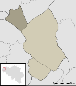
Zande, Belgium
Appearance
Zande | |
|---|---|
 | |
| Coordinates: 51°07′12″N 2°55′18″E / 51.12000°N 2.92167°E | |
| Country | Belgium |
| Province | |
| Municipality | Koekelare |
| Area | |
| • Total | 5.34 km2 (2.06 sq mi) |
| Population (1999) | |
| • Total | 302 |
| • Density | 57/km2 (150/sq mi) |
| Source: NIS | |
| Postal code | 8680 |
| Area code | 059 & 051 |
Zande is a town in Koekelare, West Flanders, Belgium.

External links
[edit]
