Finucane Island
Appearance
 Satellite image of Finucane Island | |
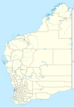
 Location of Finucane Island in Western Australia | |
| Geography | |
|---|---|
| Location | Indian Ocean |
| Coordinates | 20°18′16″S 118°33′04″E / 20.30444°S 118.55111°E |
| Administration | |
| State | Western Australia |
| LGA | Town of Port Hedland |
Finucane Island is located adjacent to Port Hedland in the Pilbara region of Western Australia.[1][2][3]
References
- ^ Gazetteer of Australia (1996). Belconnen, ACT: Australian Surveying and Land Information Group.
- ^ "Place names of Australia". Geoscience Australia. 2004.
- ^ page 103,in Murray, Ian; Hercock, Marion; Murray, Ian; Hercock, Marion (2008), Where on the coast is that?, Hesperian Press, ISBN 978-0-85905-452-2

