
New York State Route 174
New York State Route 174 | ||||
|---|---|---|---|---|
 | ||||
| Route information | ||||
| Maintained by NYSDOT | ||||
| Length | 16.70 mi[1] (26.88 km) | |||
| Existed | 1930[2]–present | |||
| Major junctions | ||||
| Location | ||||
| Country | United States | |||
| State | New York | |||
| Counties | Onondaga | |||
| Highway system | ||||
| ||||

New York State Route 174 is a north-south New York State Route located within Onondaga County. Its northern terminus is located at a junction with New York State Route 5 in the village of Camillus. The southern terminus is located at a junction with New York State Route 41 in the hamlet of Borodino, within the town of Spafford. Route 174 is 16.7 miles (26.88 kilometres) long, and was part of the original New York State Route 20N. The stretch of Route 174 in Marcellus is part of the original Seneca Turnpike, which was built in 1800s.
Route description

Route 174 begins at an intersection with New York State Route 41 at Onondaga CR 263 in Bordino.[3] Route 174 proceeds north, intersecting with Elbert Road (Onondaga CR 131), where 174 turns east. Route 174 then heads north at the turn near Otisco Lake. It follows the shoreline of the lake and intersects at the northern end with Onondaga CR 124. Route 174 passes through Marietta, intersecting with Onondaga CR 21 before entering the town of Skaneateles soon afterwards.[3]
| Communities |
|---|
In Skaneateles, Route 174 becomes concurrent with U.S. Route 20 at 6.46 miles (10.39 kilometres).[4] The concurrency is short-lived, as Route 174 turns to the north along Sevier Road at 6.77 miles (10.89 kilometres). It proceeds north, intersecting with Onondaga CR 177 in Skaneateles. At 9.09 miles (14.62 kilometres), New York State Route 175 interchanges along with Onondaga CR 73, whereupon Routes 174 and 175 become concurrent for 1.57 miles (2.52 kilometres). The two roads go into Marcellus and split at 10.66 miles (17.15 kilometres). Route 174 turns along the West Seneca Turnpike as it heads through downtown Marcellus.[4]
Route 174 turns north on North Street and heads out of Marcellus,[5] twisting and turning its way northward, passing through Marcellus Falls, and intersecting several county routes in Onondaga County. It then intersects with Onondaga CR 236/Reference Route 931F in Bennetts Corners, which is a connector road to New York State Route 321. Route 174 heads to the northeast and makes a sharp turn onto West Genesee Street, where it comes to an end at a jughandle for New York State Route 5.[5]
History
Route 174 from the turn north to the intersection with NY 175 in Camillus was part of the original Seneca Turnpike, one of the longest routes in the states at the time it was built in the 1800s.[6][7][8] Route 174 was originally part of 1920s Route 26, which stretched from Ithaca to Syracuse.[9] The "174" designation was added to the road from Borodino to NY 5 in the 1930 New York State Route renumbering.[2] From the 1930s to the 1960s, Route 174 had a concurrency with the now-defunct New York State Route 20N from U.S. Route 20 to the Route 175 fork., with Route 20N continuing along 175 afterwards. Route 20N was removed from the route in the 1960s.[10][11]
Originally, the nearby New York State Route 321 in Onondaga County followed along Forward Road to a concurrency with Route 174.[12] The two roads went along Route 174's stretch into Camillus, where both roads terminated at Route 5. Route 321 was truncated to end at Route 5 in Bennetts Corners.[13]
Major intersections
| County | Location | mi[1] | km | Destinations | Notes |
|---|---|---|---|---|---|
| Onondaga | Borodino | 0.00 | 0.00 | ||
| Town of Skaneateles | 6.46 | 10.40 | Western terminus of overlap | ||
| 6.77 | 10.90 | Eastern terminus of overlap | |||
| Town of Marcellus | 9.09 | 14.63 | Southern terminus of overlap | ||
| Village of Marcellus | 10.60 | 17.06 | Northern terminus of overlap | ||
| Village of Camillus | 16.70 | 26.88 | |||
| 1.000 mi = 1.609 km; 1.000 km = 0.621 mi | |||||
References
- ^ a b "Traffic Data Report - NY 121 to NY 213" (PDF). NYSDOT. 2007-07-16. Retrieved 2007-11-16.
{{cite web}}: Check date values in:|date=(help) - ^ a b Automobile Legal Association (ALA) Automobile Green Book, 1930/31 and 1931/32 editions, (Scarborough Motor Guide Co., Boston, 1930 and 1931). The 1930/31 edition shows New York state routes prior to the 1930 renumbering
- ^ a b Overview Map of NY 174 from Borodino to Skaneateles (Map). Google Maps. Retrieved 2007-12-07.
- ^ a b Overview Map of NY 174 from Skaneateles to Marcellus (Map). Google Maps. Retrieved 2007-12-07.
- ^ a b Overview Map of NY 174 from Marcellus to NY 5 (Map). Google Maps. Retrieved 2007-12-07.
- ^ Rivette, Barbara S. "Genesee Road." Encyclopedia of New York State. Syracuse University Press, 2005.
- ^ "USGS quadrangle of Marcellus, New York (1978)". State of New York. 2007. Retrieved 2008-01-18.
- ^ Baer, Christopher T. "Turnpikes." Encyclopedia of New York State. Syracuse University Press, 2005.
- ^ "New York's Main Highways Designated by Numbers". New York Times. 1924-12-21. p. XX9.
{{cite news}}: Check date values in:|date=(help) - ^ Automobile Legal Association (ALA) Automobile Green Book, 1938/39 edition, (W.A. Thibodeau, 1938).
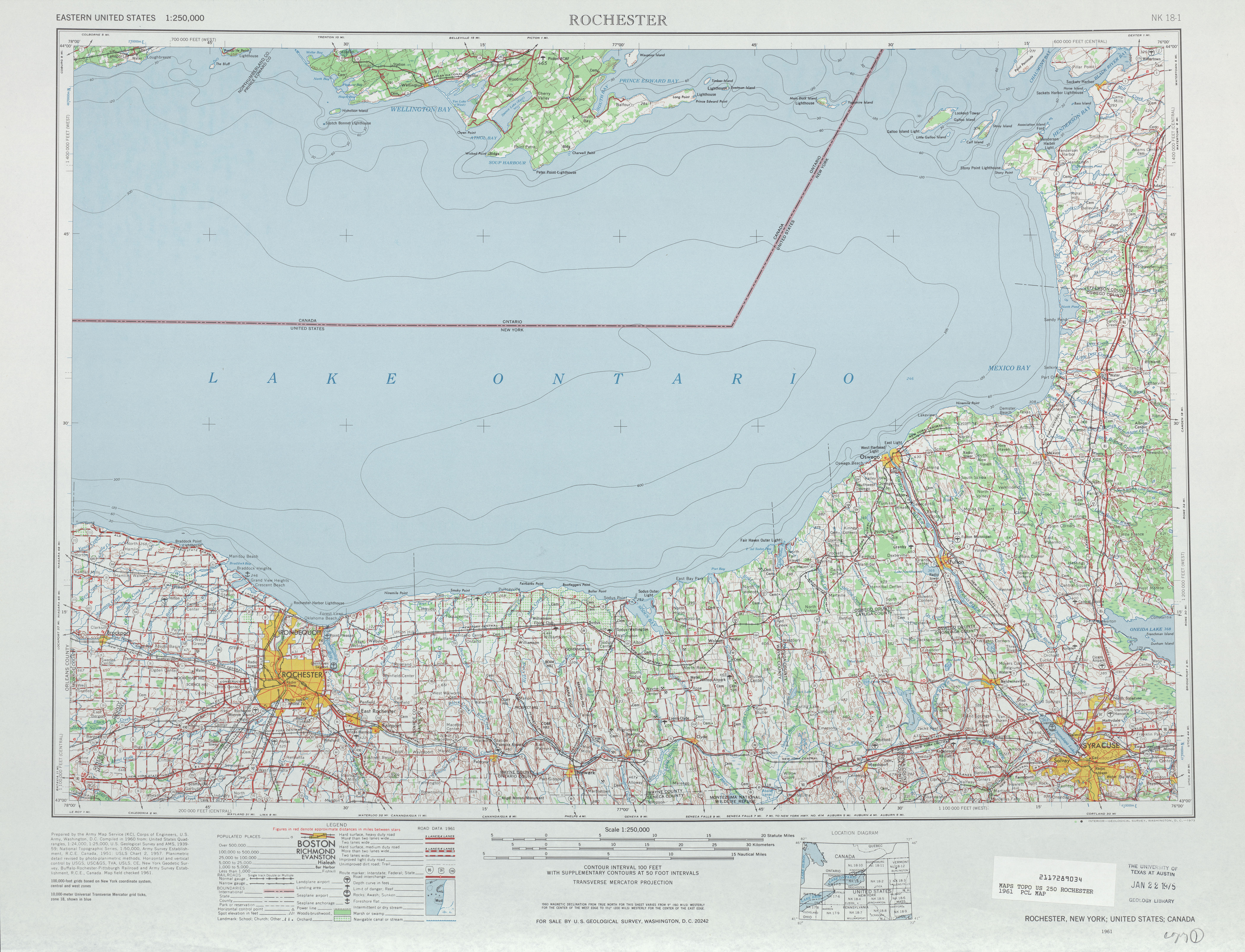
- ^ "Rochester road map". University of Texas. 1961. Retrieved 2007-12-07.
- ^ "USGS quadrangle of Camillus, New York (1978)". State of New York. 2007. Retrieved 2007-12-27.
- ^ "USGS quadrangle of Camillus, New York (1990)". State of New York. 2007. Retrieved 2007-12-27.