
List of highways in Warren County, New York

The list of highways in Warren County, New York is a list of all county and state highways located in Warren County, New York. These roads account for about 470 miles (760 km) of the highway system in New York.[1] Most roads within the county are short connectors, while others are sections of 30-mile (48 km) long highways. There is one interstate highway in Warren County, Interstate 87, also known as the Adirondack Northway. There is one U.S. Highway, U.S. Route 9 and eight state-numbered signed touring routes in the county, the longest being NY 9N. There are three other state-maintained reference routes in the county, the longest being NY 917A, which is known as the Prospect Mountain Veterans Memorial Highway. Additionally, there are 79 county-maintained routes, most of which are short connectors between more major roads.
The longest state route is the span of Touring Route 9N, spaning 48.58 miles (78.18 km) in the county alone.[2] The shortest state route is Reference Route 911E, which is only 0.2 miles (0.32 km) long.[2] These roads supply some of the major municipalities in Warren County, including the city of Glens Falls, the towns of Warrensburg and Queensbury, along with the village of Lake George.
Highways
Interstate highways

Interstate 87 is the only interstate highway to enter Warren, traveling for 38.53 miles (62.01 km) within the county, with nine interchanges along the way.[2] Exits off the highway serve Glens Falls, Queensbury, Warrensburg, Lake George, Bolton Landing, and Chestertown. The highway once terminated in downtown Lake George, with its former two-lane end becoming NY 912Q after the highway was extended northward.[3]
U.S. highways
There have been three U.S. highways in Warren County. The longest—and the only current one—is U.S. Route 9, which spans for over 40.43 miles (65.07 km) within the county. The route was numbered in 1926 as Route 9E, however this designation was changed by 1930. Since its designation in 1926, US 9 services the city of Glens Falls, Queensbury, the village of Lake George, Warrensburg and Chestertown before leaving for Essex County. Route 9 has had four suffixed routes once in the county, although only two still exist.[4][5]
U.S. Route 4 and U.S. Route 9W once terminated in Glens Falls at Route 9. Route 4 changed alignments to begin in the Capital District, and Route 9W now ends in Albany.[6][7][8]
Scenic byways

There are 13 scenic byways in the Adirondacks alone, three of them in Warren County. The first is the Roosevelt-Marcy Trail, which runs on Route 28N. The second is the Dude Ranch Trail, a loop in Warren and nearby Saratoga counties, and the third is the Central Adirondack Trail, which makes up NY 9L, US 9 and NY 28.[9][10][11]
State touring routes
There have been at least 13 state signed touring routes in Warren County. Touring routes are signed as normal routes, not like reference routes which are only signed on reference markers. However, only 10 of them remain, as Routes 9M, 9K, and 32B have been redesignated as other routes.[12][13][14][15] The other routes, however, are still in existence, with the shortest being Route 418 in Warrensburg and the longest being New York State Route 9N, which serves much of Lake George. The other routes include NY 8, which spans the northern part of the county, NY 9L, a small suffixed route of US 9, NY 149, a connector from Interstate 87 to the Vermont border in Warren and nearby Washington Counties.[8]

The others include NY 254, which is a short connector to Washington County from I-87, NY 32, which goes through Glens Falls and terminates just outside the county, NY 28, which terminates in Warren County and its suffixed route, NY 28N, which begins in the western part of the county.[8]
New York State Route 9K was once a part of New York State Route 9N south of the village of Lake George.[16] It was redesignated later as an extension of Route 9N.[17] New York State Route 9M was a spur connecting to Route 9 from south to north, passing through the northern parts of Warren County.[18] The highway was decommissioned by 1952.[19]
State reference routes
There are three state-maintained reference routes in Warren County. A reference route is a road owned by the state but are not signed like normal touring routes. The three include Route 911E (a connector from NY 32 to NY 254), NY 912Q, which is Exit 22 off Interstate 87 and is a two lane freeway spur.[3][20] Route 917A is the final reference route, and the longest, going up Prospect Mountain as the Prospect Mountain Veterans Memorial Highway. Route 911E however, is reserved to become a signed touring route as New York State Route 656, but a date for this has not yet been released.[8]
County-maintained roads

There are 79 county-maintained roads in Warren County. Most are short connectors between major roadways, although a few are former state roads. A few examples are Routes 64, 32, and 30, all were part of NY 9M at one time and County Route 79 was NY 32 until 1980. There are a few that have their designation used twice. An example is CR 11, which begins at the Northway (I-87) in Chestertown, but splits into two after Riverbank. Warren County Routes are not signed like normal touring routes, but as tab–like signs on the back of poles. There is one exception, as CR 23 is signed as a normal county route would.[21]
Interstate, State, and U.S. highways
The chart below shows current interstate, U.S., and state highways by year of creation, length, and towns crossed.
| Route # | Year created | Length within Warren County[2] | Towns crossed |
|---|---|---|---|
| 1967[22] | 38.53 miles (62.01 km) | Queensbury, Lake George, Warrensburg and Chester | |
| 1926[23] | 40.43 miles (65.07 km) | Glens Falls, Queensbury, Lake George, Warrensburg and Chester | |
| 1930[12] | 46.79 miles (75.30 km) | Chester, Johnsburg | |
| 1930s[24] | 18.58 miles (29.90 km) | Queensbury and Lake George | |
| 1930[12] | 48.58 miles (78.18 km) | Lake Luzerne, Lake George, Bolton and Hague | |
| 1930[12] | 21.23 miles (34.17 km) | Chester, Warrensburg | |
| 1930[24] | 4.54 miles (7.31 km) | North Creek | |
| 1930[12] | 2.88 miles (4.63 km) | Glens Falls | |
| 1930[24] | 5.90 miles (9.50 km) | Queensbury | |
| 1960s[14][15] | 5.34 miles (8.59 km) | Queensbury | |
| 1930s[16] | 3.50 miles (5.63 km) | Warrensburg | |
| – | 0.20 miles (0.32 km) | Queensbury | |
| 1967[20] | 0.66 miles (1.06 km) | Lake George | |
| 1969[25] | 5.88 miles (9.46 km) | Lake George |
County Routes
The chart below covers the county routes in Warren County.
| Route # | Name | Towns crossed | Notes |
|---|---|---|---|
| Riverside Station Road[26] | Johnsburg | ||
| Stony Creek Road[27] | Thurman | ||
| Harrisburg Road Warrensburg Road[28] |
Stony Creek | ||
| Valley Road Mountain Road High Street Athol Road Stony Creek Road[26][27][28] |
Thurman | ||
| Fourth Avenue | Warrensburg | ||
| Fort George Park Road[29] | Lake George | Does not include portion within Lake George Beach State Park | |
| Bay Road[30] | Queensbury | ||
| Friends Lake Road | Chester | ||
| Hudson Street Elm Street[27] |
Warrensburg | ||
| Horicon Avenue Schroon River Road[27][31] |
Warrensburg | ||
| Bolton Landing-Riverbank Road[31] | Bolton | ||
| Valley Woods Road[31] | Bolton | ||
| Hadley Road[28] | Stony Creek | ||
| The Glen-Athol Road[27] | Thurman | ||
| River Street[27] | Warrensburg | ||
| Milton Street Library Avenue[27] |
Warrensburg | ||
| Adirondack Road | Horicon | ||
| East River Road Bay Road |
Lake Luzerne | ||
| Round Pond Road Blind Rock Road Haviland Road |
Queensbury | ||
| Green Road[31] | Bolton Landing | ||
| Olmstedville Road | Chester | ||
| West Hague Road | Hague | ||
| New Hague Road | Hague | ||
| Harrisburg Road | Stony Creek | ||
| Gurney Lane[30] | Queensbury | ||
| King Street[27] | Warrensburg | ||
| Brook Street Goodman Avenue[31] |
Bolton | ||
| Palisades Road | Horicon | ||
| Federal Hill Road[31] | Bolton | ||
| Corinth Road[30] Main Street |
Queensbury | ||
| Peaceful Valley Road | Johnsburg | ||
| Schroon River Road | Chester | Former part of NY 9M | |
| Horicon Avenue | Chester, Horicon | ||
| Call Street | Lake Luzerne | ||
| Market Street | Horicon | ||
| Glenwood Avenue[30] | Queensbury | ||
| Diamond Point-Bakers Crossing Road[27][29] | Lake George | ||
| Valley Road[26] | Thurman | ||
| Beaver Pond Road | Horicon | ||
| Pilot Knob Road[29] | Queensbury | Crosses into Washington County and becomes CR 32.[32] | |
| Sunnyside East Road[30] | Queensbury | ||
| Golf Course Road[27] | Warrensburg | ||
| Federal Hill Road Sawmill Road North Bolton Road[31] |
Bolton | ||
| Dix Avenue[30] | Queensbury | ||
| Church Street | Chester | ||
| Bridge Street Main Street Mill Street |
Lake Luzerne | ||
| Water Street[27] | Warrensburg | ||
| Potter Brook Drive Atateka Drive[31] |
Warrensburg, Chester | ||
| Quaker Road[30] | Queensbury | All of it is part of NY 254.[30] | |
| Lamb Hill Road | Bolton | ||
| Trout Lake Road | Bolton | ||
| County Home Bridge Road | Bolton, Warrensburg | ||
| Coolidge Hill Road[29][31] | Bolton | ||
| Sunset Drive | Hague | ||
| Beach Road[29] | Lake George | ||
| Queensbury Avenue Hicks Road |
Queensbury, Kingsbury line | ||
| Watering Tub Road | Horicon | ||
| Sunnyside Road | Queensbury | ||
| Valentine Pond Road | Horicon | ||
| White School House-Butternut Flats Road | Chester | ||
| South Johnsburg Road[26] | Thurman, Johnsburg | ||
| West Mountain Road[30] | Queensbury | ||
| Bloody Pond Road[29] | Lake George | ||
| Old Stage Road | Lake Luzerne | ||
| Harrington Hill Road[27] | Warrensburg, Lake George | ||
| Glendale Road | Chester, Horicon | Former part of NY 9M | |
| Moon Hill Road[30] | Queensbury | ||
| East Schroon River Road | Horicon | Former part of NY 9M | |
| Knapp Hill Road | Chester | ||
| Country Club Road[30] | Queensbury | ||
| Cameron Road[27] | Thurman | ||
| Landon Hill Road | Chester | ||
| West Brook Road[29] | Lake George | ||
| Quaker Road[30] | Queensbury | All of it is part of NY 254.[30] | |
| Stone School House Road[29] | Lake George | ||
| Garnet Lake Road[26] | Johnsburg, Thurman | ||
| Gore Mountain Road | Johnsburg | ||
| Atateka Drive | Chester | ||
| Ben Culver Road | Chester | ||
| Lanfear Road Murray Road Dartmouth Road High Street[28] |
Stony Creek, Thurman | ||
| Main Street | Johnsburg | Old alignment of NY 28. | |
| Thirteenth Lake Road | Johnsburg | ||
| Boulevard | Queensbury | Former alignment of NY 32. |
References
- ^ "Overview of mileage in Warren County, New York" (PDF). New York State Department of Transportation. 2006. Retrieved May 9, 2008.
- ^ a b c d "2006 Traffic Data Report for New York State" (PDF). New York State Department of Transportation. July 16, 2007. Retrieved May 7, 2008.
- ^ a b "Schroon Lake 1804 - 2004". Adirondack Gold Pages. 2008. Retrieved May 7, 2008.
- ^ New York (Map). Cartography by General Drafting. Esso. 1936.
- ^ 1977-2007 I love New York state map (Map). I Love New York. 2007.
- ^ "New York's Main Highways Designated by Numbers". New York Times. December 21, 1924. p. XX9.
- ^ Rand McNally Auto Road Atlas (Map). Rand McNally. 1926. Retrieved May 7, 2008.
- ^ a b c d New York State Department of Transportation (2009). Official Description of Highway Touring Routes, Bicycling Touring Routes, Scenic Byways, & Commemorative/Memorial Designations in New York State (PDF). Retrieved May 7, 2008.
{{cite book}}: Unknown parameter|month=ignored (help) - ^ "Dude Ranch Trail". United States Department of Transportation. 2007. Retrieved May 9, 2008.
- ^ "Central Adirondack Trail". United States Department of Transportation. 2007. Retrieved May 9, 2008.
- ^ "Roosevelt-Marcy Trail". United States Department of Transportation. 2007. Retrieved May 9, 2008.
- ^ a b c d e Dickinson, Leon A. (January 12, 1930). "New Signs for State Highways". New York Times. p. 136.
- ^ Automobile Legal Association (ALA) Automobile Green Book, 1938/39 edition, (W.A. Thibodeau, 1938).
- ^ a b New York and Metropolitan New York (Map). Cartography by Rand McNally and Company. Sinclair. 1964.
- ^ a b Hudson Falls Quadrangle – New York (Map). 1:24,000. 7.5 Minute Series (Topographic). United States Geological Survey. 1966. Retrieved January 22, 2010.
- ^ a b Road Map & Historical Guide - New York (Map). Cartography by Rand McNally and Company. Sun Oil Company. 1935.
- ^ Official Highway Map of New York State (Map) (1947-48 ed.). Cartography by General Drafting. State of New York Department of Public Works.
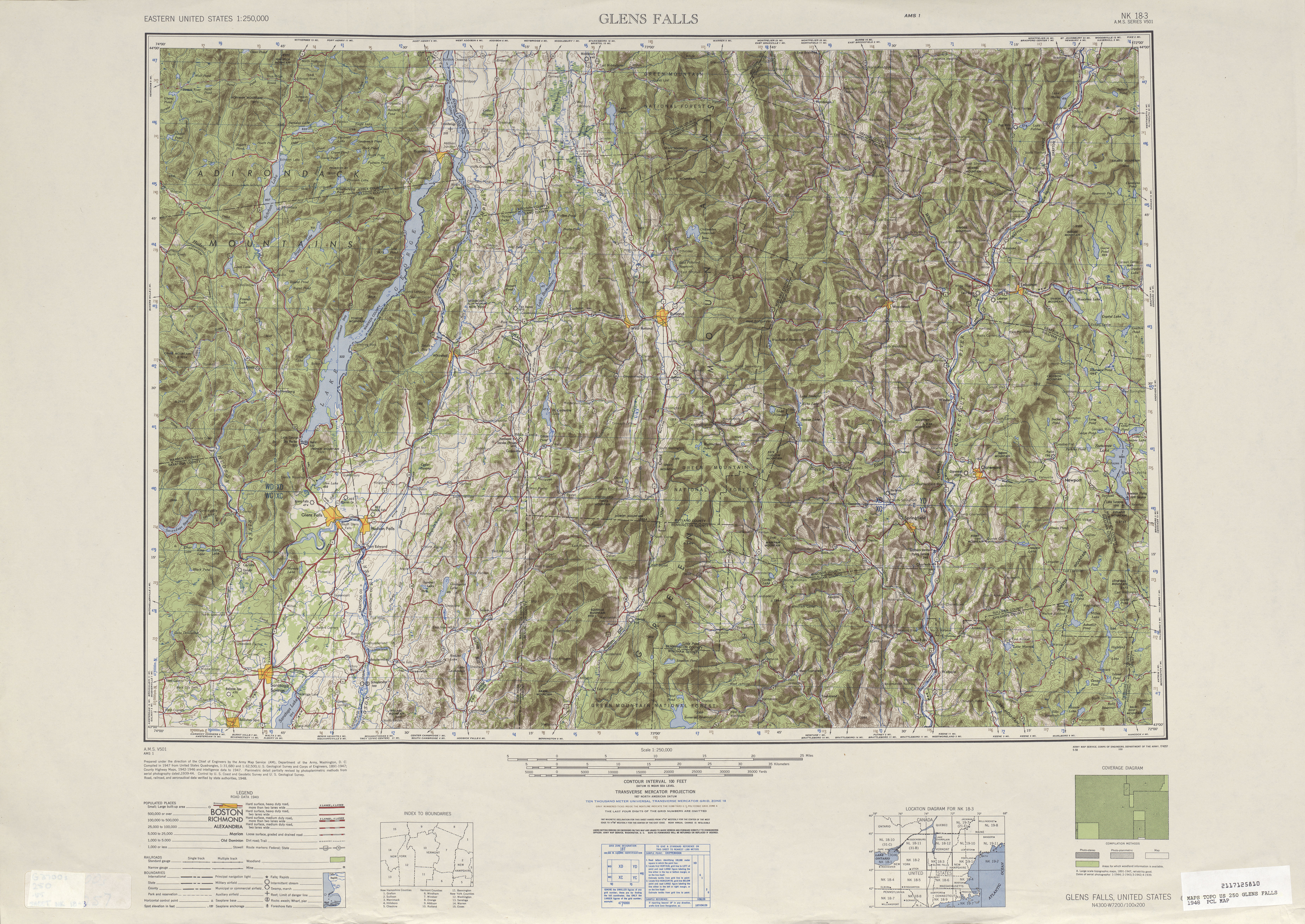
- ^ Glens Falls, NY Quadrangle (Map). 1:250,000. Eastern United States 1:250,000. United States Geological Survey. 1948. Retrieved July 10, 2008.
- ^ New York (Map). Cartography by Rand McNally and Company. Sunoco. 1952.
- ^ a b Lamy, Margaret (May 18, 1966). "Big Gaps Are Being Closed in the Link Between the Thruway and Canada". New York Times. Retrieved May 7, 2008.
- ^ Perry, Nathan. "Warren County Roads". Empire State Roads. Retrieved May 7, 2008.
- ^ Phillips, McClandish (August 29, 1967). "Last Link To Open the Northway". New York Times. p. 39.
- ^ Bureau of Public Roads, United States System of Highways, November 11, 1926
- ^ a b c Automobile Legal Association (ALA) Automobile Green Book, 1930/31 and 1931/32 editions, (Scarborough Motor Guide Co., Boston, 1930 and 1931). The 1930/31 edition shows New York state routes prior to the 1930 renumbering
- ^ "Missing veterans honored on mountaintop". The Post-Star. 2007. Retrieved June 13, 2008.
- ^ a b c d e Johnsburg Digital Raster Quadrangle (Map). 1:24,000. New York State Department of Transportation. 1992. Retrieved January 22, 2010.
- ^ a b c d e f g h i j k l m Warrensburg Digital Raster Quadrangle (Map). 1:24,000. New York State Department of Transportation. 1992. Retrieved January 22, 2010.
- ^ a b c d Stony Creek Digital Raster Quadrangle (Map). 1:24,000. New York State Department of Transportation. 1992. Retrieved January 22, 2010.
- ^ a b c d e f g h Lake George Digital Raster Quadrangle (Map). 1:24,000. New York State Department of Transportation. 1992. Retrieved January 22, 2010.
- ^ a b c d e f g h i j k l m Glens Falls Digital Raster Quadrangle (Map). 1:24,000. New York State Department of Transportation. 1991. Retrieved January 22, 2010.
- ^ a b c d e f g h i Bolton Landing Digital Raster Quadrangle (Map). 1:24,000. New York State Department of Transportation. 1992. Retrieved January 22, 2010.
- ^ Lake George Boater's Map (Map). JIMAPCO. 1999.