Template:POTD/2007-03-19
Appearance
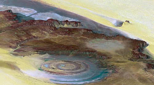
The Richat Structure is a depression in the country of Mauritania, almost 50 km (30 mi) across. It was originally thought to be the impact of a meteorite. Now it is thought to be a symmetrical uplift (circular anticline or dome) that has been exposed to erosion. In this false-color photo, bedrock is brown, sand is yellow and white, vegetation is green, and salty sediments are blue.Photo credit: Landsat 7

