
File:Europe-Switzerland.svg

Size of this PNG preview of this SVG file: 713 × 600 pixels. Other resolutions: 285 × 240 pixels | 571 × 480 pixels | 913 × 768 pixels | 1,218 × 1,024 pixels | 2,435 × 2,048 pixels | 2,045 × 1,720 pixels.
Original file (SVG file, nominally 2,045 × 1,720 pixels, file size: 7.31 MB)
| This is a file from the Wikimedia Commons. Information from its description page there is shown below. Commons is a freely licensed media file repository. You can help. |
Summary
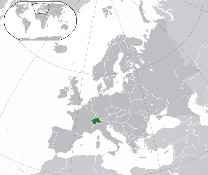
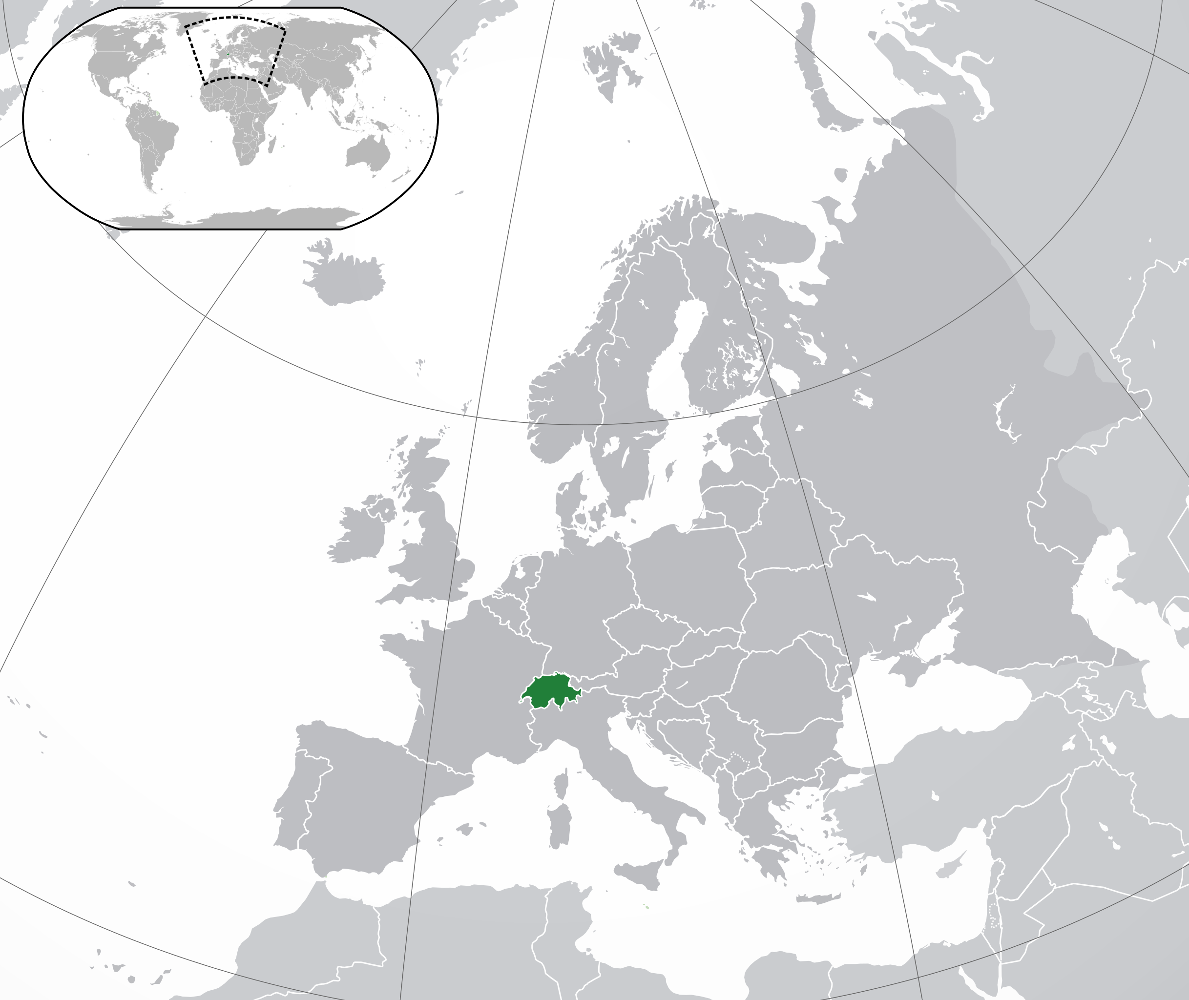
| Description | Confoederatio Helvetica, Schweiz. |
| Date | |
| Source | Location European nation states.svg |
| Author | Hayden120 and NuclearVacuum |
| SVG development |
Licensing
I, the copyright holder of this work, hereby publish it under the following licenses:
This file is licensed under the Creative Commons Attribution-Share Alike 3.0 Unported license.
- You are free:
- to share – to copy, distribute and transmit the work
- to remix – to adapt the work
- Under the following conditions:
- attribution – You must give appropriate credit, provide a link to the license, and indicate if changes were made. You may do so in any reasonable manner, but not in any way that suggests the licensor endorses you or your use.
- share alike – If you remix, transform, or build upon the material, you must distribute your contributions under the same or compatible license as the original.

|
Permission is granted to copy, distribute and/or modify this document under the terms of the GNU Free Documentation License, Version 1.2 or any later version published by the Free Software Foundation; with no Invariant Sections, no Front-Cover Texts, and no Back-Cover Texts. A copy of the license is included in the section entitled GNU Free Documentation License. |
You may select the license of your choice.
File history
Click on a date/time to view the file as it appeared at that time.
| Date/Time | Thumbnail | Dimensions | User | Comment | |
|---|---|---|---|---|---|
| 17:25, 9 February 2015 |  | 2,045 × 1,720 (2.6 MB) | VS6507 | Please don't change the consensus version | |
| 00:40, 12 January 2015 |  | 2,045 × 1,720 (7.39 MB) | Bobrayner | Reverted to version as of 19:29, 16 November 2014; more accurate map | |
| 02:43, 7 January 2015 |  | 2,045 × 1,720 (2.6 MB) | VS6507 | Please don't change the consensus version | |
| 19:29, 16 November 2014 |  | 2,045 × 1,720 (7.39 MB) | Leftcry | Reverted to version as of 01:27, 19 October 2014 Please go to your talk page | |
| 15:58, 16 November 2014 |  | 2,045 × 1,720 (2.6 MB) | A2D2 | Reverted to version as of 15:15, 23 October 2009 | |
| 01:27, 19 October 2014 |  | 2,045 × 1,720 (7.39 MB) | Leftcry | Improved version | |
| 15:15, 23 October 2009 |  | 2,045 × 1,720 (2.6 MB) | NuclearVacuum | consensus version | |
| 16:31, 18 October 2009 |  | 2,045 × 1,720 (2.62 MB) | NuclearVacuum | correct coloring | |
| 05:28, 18 October 2009 |  | 2,045 × 1,720 (2.62 MB) | Hayden120 | == Summary == {{Information |Description={{en|1={{EU-SVG-en|the United Kingdom}}}} |Source=*File:Location European nation states.svg<br>{{Inkscape}} |Author=Hayden120 and NuclearVacuum |Date=2009-10 |Permissi |
File usage
The following pages on the English Wikipedia use this file (pages on other projects are not listed):
- History of the Jews in Switzerland
- Intersex rights in Switzerland
- LGBT rights in Switzerland
- List of companies of Switzerland
- List of sovereign states and dependent territories in Europe
- Modern history of Switzerland
- Switzerland
- Switzerland and weapons of mass destruction
- User:Bokmanrocks01/sandbox
- User:Ericmachmer/Timsylvania
- Portal:Switzerland
- Portal:Switzerland/Intro
Global file usage
The following other wikis use this file:
- Usage on ady.wikipedia.org
- Usage on af.wikipedia.org
- Usage on ami.wikipedia.org
- Usage on am.wikipedia.org
- Usage on ang.wikipedia.org
- Usage on ar.wikipedia.org
- سويسرا
- مستخدم:ElWaliElAlaoui/ملعب 8
- معاملة المثليين في سويسرا
- مستخدم:جار الله/قائمة صور مقالات العلاقات الثنائية
- العلاقات الأمريكية السويسرية
- العلاقات الأنغولية السويسرية
- العلاقات السويسرية الكورية الجنوبية
- العلاقات الإريترية السويسرية
- العلاقات الألمانية السويسرية
- العلاقات السويسرية الليختنشتانية
- العلاقات البوليفية السويسرية
- العلاقات السويسرية الموزمبيقية
- العلاقات الألبانية السويسرية
- العلاقات البلجيكية السويسرية
- العلاقات الإثيوبية السويسرية
- العلاقات البيلاروسية السويسرية
- العلاقات السويسرية الطاجيكستانية
- العلاقات الروسية السويسرية
- العلاقات الرومانية السويسرية
- العلاقات الأرجنتينية السويسرية
- العلاقات السويسرية الغامبية
- العلاقات السويسرية القبرصية
- العلاقات السويسرية السيراليونية
- العلاقات السويسرية النيبالية
- العلاقات السويسرية الليبيرية
- العلاقات التشيكية السويسرية
- العلاقات السويسرية الميانمارية
- العلاقات السويسرية الكندية
- العلاقات الزيمبابوية السويسرية
- العلاقات البالاوية السويسرية
- العلاقات السويسرية المالية
- العلاقات السويسرية النيجيرية
- العلاقات اليمنية السويسرية
- العلاقات السويسرية الفانواتية
- العلاقات الغابونية السويسرية
- العلاقات البنمية السويسرية
- العلاقات السويسرية الكوبية
- العلاقات الجورجية السويسرية
- العلاقات التونسية السويسرية
- العلاقات السويسرية الكورية الشمالية
- العلاقات الهندية السويسرية
- العلاقات اليابانية السويسرية
- العلاقات الإيطالية السويسرية
- العلاقات السويسرية الناوروية
- العلاقات الأسترالية السويسرية
View more global usage of this file.