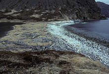
Nagai Island

Nagai Island is one of the largest of the Shumagin Islands in the Gulf of Alaska, south of the Alaska Peninsula considered a part of the NE Aleutian Range. It is located in the United States state of Alaska at 55°05′N 160°01′W / 55.083°N 160.017°W, and is 31 miles (50 km) long.
According to the log of Vitus Bering's ship St. Peter, a sailor by the name of Nikita Shumagin died of scurvy and was buried here August 31, 1741. The Shumagin Islands were named after him.
References[edit]
- Donald J. Orth (1967). Dictionary of Alaska Place Names. Glacier House Publications. ISBN 0-94478-002-4.
- Corey Ford (1966). Where the Sea Breaks Its Back.
