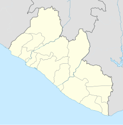
Timbo District
Timbo District | |
|---|---|
| Coordinates: 5°33′49″N 9°43′12″W / 5.56361°N 9.72000°W[1] | |
| Country | Liberia |
Timbo District was one of the two original districts of Rivercess County, Liberia.[2][3]
References[edit]
- ^ http://geonames.nga.mil/ggmagaz/gnsquicksearch.asp?NAV=2 [dead link]
- ^ "River Cess County Development Agenda" (PDF). Republic of Liberia. 2008. Retrieved 2008-10-20.
- ^ "2008 National Population and Housing Census" (PDF). Government of the Republic of Liberia. 2008. Retrieved 2010-03-10.

