Åkersvika
Appearance
| Åkervika | |
|---|---|
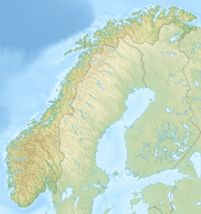
Map of Norway | |
| Location | Hamar, Norway |
| Coordinates | 60°47′32″N 11°06′40″E / 60.7923°N 11.111°E[1] |
| Area | 424 ha (1,050 acres) |
| Established | 1974 |
Åkervika is a 424-hectare (1,050-acre)[1] wetland nature reserve and Ramsar site in Hamar, Norway. It became Norway's first Ramsar site in 1974.[2] Vikingskipet, the speed skating venue for the 1994 Winter Olympics, was built in the site, creating controversy.[3] European Route E6 also runs through the site, and the Norwegian Public Roads Administration has plans to expand the road to a four-lane motorway.[2]
References
- ^ a b "Åkersvika Nature Reserve". protectedplanet.net.
- ^ a b "- Firefelts E6 gjennom Åkersvika naturreservat" (in Norwegian). 8 October 2009. Archived from the original on 9 February 2011. Retrieved 9 February 2011.
- ^ Lillehammer Olympic Organizing Committee. "1994 Winter Olympics Report, volume III" (PDF). p. 54. Retrieved 10 December 2010.

