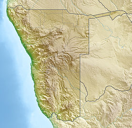
Tsaus Mountains
| Tsaus Mountains | |
|---|---|
 Aerial view of Tsaus Mountains in the Diamond Restricted Area (2017) | |
| Highest point | |
| Elevation | 1,107 m (3,632 ft) |
| Isolation | 11 km (6.8 mi) |
| Coordinates | 27°08′32″S 016°10′11″E / 27.14222°S 16.16972°E |
| Geography | |
| Country | |
| Region | Karas |
Tsaus Mountains is a mountain range within Diamond Restricted Area also called Sperrgebiet located in the southwestern part of Namibia.[1] It reaches a height of 1,107 m.[2]
Seen from the northern aerial view its shape looks like the Greek letter Omega ω. The Tsaus Mountains have a horizontal layered structure and its expansion is about 11 km × 11 km.
Several places of the mountain range are covered with sand which is blown over by sandstorms. The average yearly rainfall in this area of the Namib amounts to just a few millimeters.[3][4]
The bushes to be found in the mountains just survive because of the mist, which sometimes is formed above the cold Atlantic and then during daytime drifts far into the desert.[3] The few Camel Thorn trees take their water from deep underground accumulations.[5]
On a botanical expedition in the year 1995 Steven Hammer[6] and some comrades discovered a yet unknown type of Lithops [7] within the Tsaus Plateau area. Because of this isolated area along the southern edge of the Tsaus Plateau they called this species Lithops hermetica.[8]

Direction of view southeast (2018)
Pictures
Literature
S. Porembski, W. Barthlott (Hrsg.): Inselbergs: Biotic Diversity of Isolated Rock Outcrops in Tropical and Temperate Regions. In: Ecological Studies, Nr. 146, Springer, Berlin/Heidelberg 2000, ISBN 978-3-642-64120-6.
References
- ^ Namibia Travel Map. Kunth-Verlag, München 2017, ISBN 978-3-95504-578-4.
- ^ Tsaus auf Mapcarta
- ^ a b Fog desert Namib
- ^ Rainfall in nearby Lüderitz
- ^ Camel Thorn trees have roots reaching 60 m in depth.
- ^ Little Sphaeroid Press:Steven Hammer retrieved 28. October 2018
- ^ Lithops of Namibia, by Roy Earle & Janice Round with assistance from Frikkie and Hilde Mouton, Lithopsfoundation Namibia
- ^ Encyclopedia of succulents: Lithops hermetica retrieved 28. October 2018

