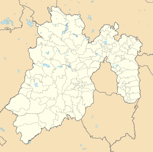
Zumpango de Ocampo
Appearance
Zumpango de Ocampo | |
|---|---|
Municipal Seat | |
| Coordinates: 19°47′49″N 99°5′57″W / 19.79694°N 99.09917°W | |
| Country | |
| Municipality | Zumpango |
| Elevation | 2,259 m (7,411 ft) |
| Population (2010)[1] | |
| • Total | 50,742 |
| Time zone | UTC-6 (Central Standard Time) |
| • Summer (DST) | UTC-5 (Central Daylight Time) |
Zumpango de Ocampo is a city and the municipal seat of municipality of Zumpango, State of Mexico and it is also the regional seat of the Zumpango Region, an administrative sub-division. It is currently an important urban center of the state and according to the 2010 census, it had a total population of 50,742 inhabitants.[2][3]
References
[edit]- ^ Instituto Nacional de Estadística y Geografía (2016). "Número de habitantes. Mexico".
- ^ "Municipio: Zumpango". Cédulas de Información Municipal. SEDESOL. Retrieved 9 March 2016.
- ^ "Municipio de Zumpango". Catálogo de Localidades. SEDESOL. Retrieved 2 March 2016.

