South River (Darien River tributary)
Appearance
| South River | |
|---|---|
| Location | |
| Country | United States |
| State | Georgia |
| Physical characteristics | |
| Source | |
| • location | Georgia |
| Mouth | |
• coordinates | 31°22′02″N 81°18′35″W / 31.36717°N 81.30982°W |
| Length | 3.2 mi (5.1 km) |
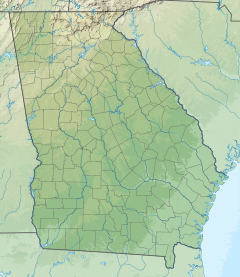
The South River is a 3.2-mile-long (5.1 km)[1] tidal channel in McIntosh County, Georgia, in the United States. It connects the Darien River to its west with Doboy Sound, an arm of the Atlantic Ocean, to its east. It flows through an extensive saltmarsh complex, with Queens Island to the north and Wolf Island to the south.[2][3]
See also
[edit]References
[edit]- ^ U.S. Geological Survey. National Hydrography Dataset high-resolution flowline data. The National Map, accessed April 26, 2011
- ^ U.S. Geological Survey Geographic Names Information System: South River
- ^ USGS Hydrologic Unit Map - State of Georgia (1974)

