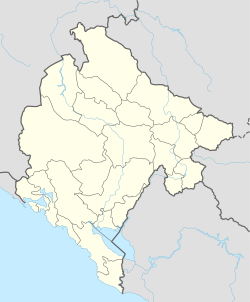
Bojna Njiva
Appearance
Bojna Njiva | |
|---|---|
Village | |
| Coordinates: 42°58′20″N 19°35′56″E / 42.972163°N 19.598791°E | |
| Country | |
| Municipality | |
| Population (2011) | |
| • Total | 300 |
| Time zone | UTC+1 (CET) |
| • Summer (DST) | UTC+2 (CEST) |
Bojna Njiva (Serbian Cyrillic: Бојна Њива) is a village and area in the municipality of Mojkovac, Montenegro.
Demographics
According to the 2011 census, its population was 300.[1]
| Ethnicity | Number | Percentage |
|---|---|---|
| Montenegrins | 166 | 55.3% |
| Serbs | 114 | 38.0% |
| other/undeclared | 20 | 6.7% |
| Total | 300 | 100% |
References
- ^ "Tabela N1. Stanovništvo prema nacinalnoj odnosno etničkoj pripadnosti po naseljima, Popis stanovništva, domaćinstava i stanova u Crnoj Gori 2011. godine" (in Montenegrin). Statistical Office of Montenegro. Retrieved January 27, 2012.

