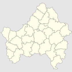
Tuboltsy
Appearance
Tuboltsy
Тубольцы | |
|---|---|
Selo | |
| Coordinates: 52°52′N 33°15′E / 52.867°N 33.250°E[1] | |
| Country | Russia |
| Region | Bryansk Oblast |
| District | Pochepsky District |
| Time zone | UTC+3:00 |
Tuboltsy (Russian: Тубольцы) is a rural locality (a selo) in Pochepsky District, Bryansk Oblast, Russia. In the 19th century the village was part of Staroselskaya volost, Mglinsky Uyezd, Chernigov Governorate.[2] The population was 95 as of 2013.[3] There are 2 streets.
Geography
Tuboltsy is located 21 km southwest of Pochep (the district's administrative centre) by road. Mashkovo is the nearest rural locality.[4]
References
- ^ Карта Почепского района Брянской области
- ^ Историческая информация о селе Тубольцы
- ^ Численность населения Брянской области по муниципальным образованиям в разрезе населённых пунктов на 1 января 2013 года. Брянскстат. 2013. 90 стр.
- ^ Расстояние от Почепа до Тубольцов


