Degeberga
Appearance
Degeberga | |
|---|---|
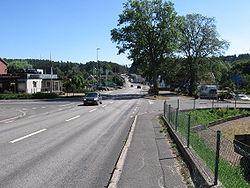
 Tingsvägen, the main road through Degeberga | |
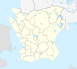
| Coordinates: 55°50′N 14°05′E / 55.833°N 14.083°E | |
| Country | Sweden |
| Province | Skåne |
| County | Skåne County |
| Municipality | Kristianstad Municipality |
| Area | |
• Total | 1.75 km2 (0.68 sq mi) |
| Population (31 December 2010)[1] | |
• Total | 1,291 |
| • Density | 739/km2 (1,910/sq mi) |
| Time zone | UTC+1 (CET) |
| • Summer (DST) | UTC+2 (CEST) |
Degeberga is a locality situated in Kristianstad Municipality, Skåne County, Sweden with 1,291 inhabitants in 2010.[1] It is located approximately 22 km (14 mi) south of the city of Kristianstad. The area is known for the highest waterfall in Scania, located in the nearby Forsakar Nature Reserve.
An outdoor pool named Forsakarsbadet, which is open to visitors during the summer (between mid-June and mid-August), is situated in a valley just next to the nature reserve.

References
[edit]- ^ a b c "Tätorternas landareal, folkmängd och invånare per km2 2005 och 2010" (in Swedish). Statistics Sweden. 14 December 2011. Archived from the original on 27 January 2012. Retrieved 10 January 2012.


