Hästveda
Appearance
Hästveda | |
|---|---|
 | |
| Coordinates: 56°17′10″N 13°56′10″E / 56.28611°N 13.93611°E | |
| Country | Sweden |
| Province | Scania |
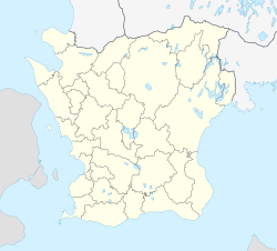
| County | Scania County |
| Municipality | Hässleholm Municipality |
| Area | |
| • Total | 2.49 km2 (0.96 sq mi) |
| Population (31 December 2010)[1] | |
| • Total | 1,623 |
| • Density | 652/km2 (1,690/sq mi) |
| Time zone | UTC+1 (CET) |
| • Summer (DST) | UTC+2 (CEST) |
Hästveda is a locality situated in Hässleholm Municipality, Scania County, Sweden with 1,623 inhabitants in 2010.[1]
The etymology of Hästveda indicates that the name originally signified a wood, or forest where horses were kept.[2]
Hästveda Church is a medieval church with well-preserved both Romanesque and Gothic frescos.[2]
Hästveda railway station is situated on the Southern Main Line and is served by the Växjö–Hässleholm route of the Krösatågen regional rail network.[3]
References
- ^ a b c "Tätorternas landareal, folkmängd och invånare per km2 2005 och 2010" (in Swedish). Statistics Sweden. 14 December 2011. Archived from the original on 27 January 2012. Retrieved 10 January 2012.
- ^ a b Wahlöö, Claes (2014). Skånes kyrkor 1050-1949 (in Swedish). Kävlinge: Domus Propria. p. 136. ISBN 978-91-637-5874-4.
- ^ "Linjekarta" (PDF). Krösatågen. Retrieved 17 July 2020.


