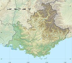
Bendola
Appearance
| Bendola | |
|---|---|
| Location | |
| Country | France |
| Physical characteristics | |
| Source | |
| • location | Ligurian Alps |
| Mouth | |
• location | Roya |
• coordinates | 43°58′54″N 7°32′46″E / 43.98167°N 7.54611°E |
| Length | 16 km (10 mi) |
| Basin features | |
| Progression | Roya→ Ligurian Sea |
The Bendola is a river that flows through the Alpes-Maritimes department of southeastern France. It is 15.9 km (9.9 mi) long.[1] It is a left tributary of the Roya. Its source is in the Ligurian Alps, east of Saorge, near the border with Italy. It discharges into the river Roya near Saorge.
References


