Karakelang
Appearance
| Geography | |
|---|---|
| Location | South East Asia |
| Coordinates | 4°15′32″N 126°48′00″E / 4.25889°N 126.80000°E |
| Archipelago | Talaud Islands |
| Area | 846 km2 (327 sq mi) |
| Administration | |
Indonesia | |
| Province | North Sulawesi |
| Largest settlement | Melonguane |
| Demographics | |
| Population | 60,875 (mid 2022 estimate) |
| Pop. density | 72.0/km2 (186.5/sq mi) |
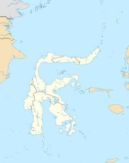
Karakelong is the main island of the Talaud Islands north east of Sulawesi, Indonesia. Its area is 846 km2 (327 sq mi). It has a population of 51,506 at the 2010 Census[1] and 59,920 at the 2020 Census;[2] the official estimate as at mid 2022 was 60,875.[3] Its largest town is Melonguane on the west coast, which serves as the administrative centre for the Talaud Islands Regency.
References

