Batavia, California
Appearance
Batavia, California | |
|---|---|
| Coordinates: 38°24′23″N 121°51′35″W / 38.40639°N 121.85972°W | |
| Country | United States |
| State | California |
| County | Solano |
| Elevation | 62 ft (19 m) |
| Time zone | UTC-8 (Pacific (PST)) |
| • Summer (DST) | UTC-7 (PDT) |
| Area code | 707 |
| GNIS feature ID | 1655814[1] |

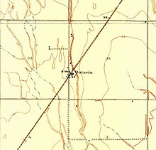
Batavia is an unincorporated community in Solano County, California, United States. Batavia is along a railroad line 3.5 miles (5.6 km) southwest of Dixon.
California Pacific Railroad station that was named around 1870 using the Latin name of The Netherlands.[2]
References
- ^ U.S. Geological Survey Geographic Names Information System: Batavia, California
- ^ Gudde, Erwin G. (1998). California place names : the origin and etymology of current geographical names (4th ed., rev. and enl. ed.). Berkeley: University of California Press. p. 28. ISBN 0520213165.


