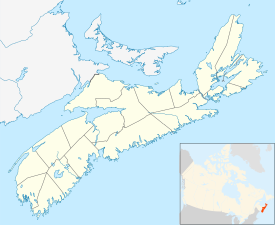
Lantz, Nova Scotia
Lantz | |
|---|---|
Community | |
 | |
| Nickname: Lionsville | |
| Motto: Let’s Meet At The Lot | |
| Coordinates: 44°59′14″N 63°28′45″W / 44.98722°N 63.47917°W | |
| Country | |
| Province | |
| Municipality | Halifax Regional Municipality |
| Area | |
| • Land | 2.97 km2 (1.15 sq mi) |
| Population (2021)[1] | |
| • Total | 1,703 |
| • Density | 573.6/km2 (1,486/sq mi) |
| Time zone | UTC-4 (AST) |
| • Summer (DST) | UTC-3 (ADT) |
| Area code | 902 |
Lantz is a designated place[1] located on the Shubenacadie River between the communities of Milford and Elmsdale, in the Municipality of East Hants and the Halifax Regional Municipality, Nova Scotia, Canada. Lantz was considered by Statistics Canada as a "Retired population centre."[1]
As of 2011, the population according to Nova Scotia government was 3,326[2] but only 1,533 according to Statistics Canada.[1] In 2016 Census, Statistics Canada reported the population of Lantz was 2,229, an increase of 45.4%.[1]
Demographics
In the 2021 Census of Population conducted by Statistics Canada, Lantz had a population of 1,703 living in 686 of its 696 total private dwellings, a change of -23.6% from its 2016 population of 2,229. With a land area of 2.97 km2 (1.15 sq mi), it had a population density of 573.4/km2 (1,485.1/sq mi) in 2021.[3]
References
- ^ a b c d e "Census Profile". 2016 Census. Statistics Canada. 2018-04-24.
- ^ "Nova Scotia Community Counts". Province of Nova Scotia. Retrieved 2011-09-02.
- ^ "Population and dwelling counts: Canada and designated places". Statistics Canada. February 9, 2022. Retrieved May 9, 2022.

