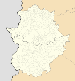
Barcarrota
Appearance
Barcarrota | |
|---|---|
| Coordinates: 38°30′53″N 6°50′55″W / 38.51472°N 6.84861°W | |
| Country | Spain |
| Autonomous community | Extremadura |
| Province | Badajoz |
| Comarca | Llanos de Olivenza |
| Government | |
| • Alcalde | Santiago Manuel Cuadrado Rodríguez |
| Area | |
| • Total | 136.1 km2 (52.5 sq mi) |
| Elevation | 467 m (1,532 ft) |
| Population (2018)[1] | |
| • Total | 3,580 |
| Time zone | UTC+1 (CET) |
| • Summer (DST) | UTC+2 (CEST) |
| Website | Ayuntamiento de Barcarrota |
Barcarrota is a Spanish municipality in the province of Badajoz, Extremadura. It has a population of 3,664 (2007) and an area of 136.1 km².
Barcarrota was the location of the Battle of Villanueva de Barcarrota (1336), in which Castilian troops decisively defeated a Portuguese army.
It was claimed by Inca Garcilaso de la Vega, likely incorrectly, to be the birthplace of Hernando de Soto.[2]
References
- ^ Municipal Register of Spain 2018. National Statistics Institute.
- ^ Muñoz de San Pedro, Miguel; Lamb, Ursula (1965). "Note about the Birthplace of Hernando de Soto". The Florida Historical Quarterly. 44 (1/2): 45–50. ISSN 0015-4113. Retrieved 16 September 2023.
38°30′53″N 06°50′55″W / 38.51472°N 6.84861°W


