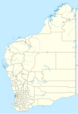
Abutilon Island
| Geography | |
|---|---|
| Location | Indian Ocean |
| Coordinates | 20°40′05″S 115°34′44″E / 20.66806°S 115.57889°E |
| Administration | |
| State | Western Australia |
| LGA | Shire of Ashburton |
Abutilon Island is located approximately 120 kilometres (75 mi) off the coast from Onslow in the Pilbara region of Western Australia.[1][2]
Description
[edit]The island is part of the Lowendal Islands archipelago; Abutilon is located just south of Varanus Island and approximately 12 kilometres (7 mi) east of the much larger Barrow Island.
The island has an area of 27 hectares (67 acres) and is made up of raised limestone rocks with sparse vegetation.[3]
The island is part of the Lowendal Islands Nature Reserve, which was established in 1976 and has a size of 179 hectares (440 acres).[4]
Fauna
[edit]The archipelago is home to the hawksbill turtle, the flatback turtle and the green turtle although none are known to nest on Abutilon.
Birds found on the island include threatened species like the wedge-tailed shearwater, the bridled tern, the crested tern and the lesser crested tern.[5]
See also
[edit]References
[edit]- ^ Gazetteer of Australia (1996). Belconnen, ACT: Australian Surveying and Land Information Group.
- ^ "Place names of Australia". Geoscience Australia. 2004.
- ^ "Lowendal Islands". Sites - Important Bird and Biodiversity Areas. Birdlife International. 2015. Retrieved 14 December 2015.
- ^ "Terrestrial CAPAD 2022 WA summary". www.dcceew.gov.au/. Department of Climate Change, Energy, the Environment and Water. Retrieved 22 October 2023.
- ^ "Simpson Oil Field Development, Offshore Abutilon Island, Lowendal Islands, North West Shelf" (PDF). Apache Northwest Pty Ltd. July 2001. Archived from the original (PDF) on 7 March 2016. Retrieved 14 December 2015.

