
Simiganj (river)
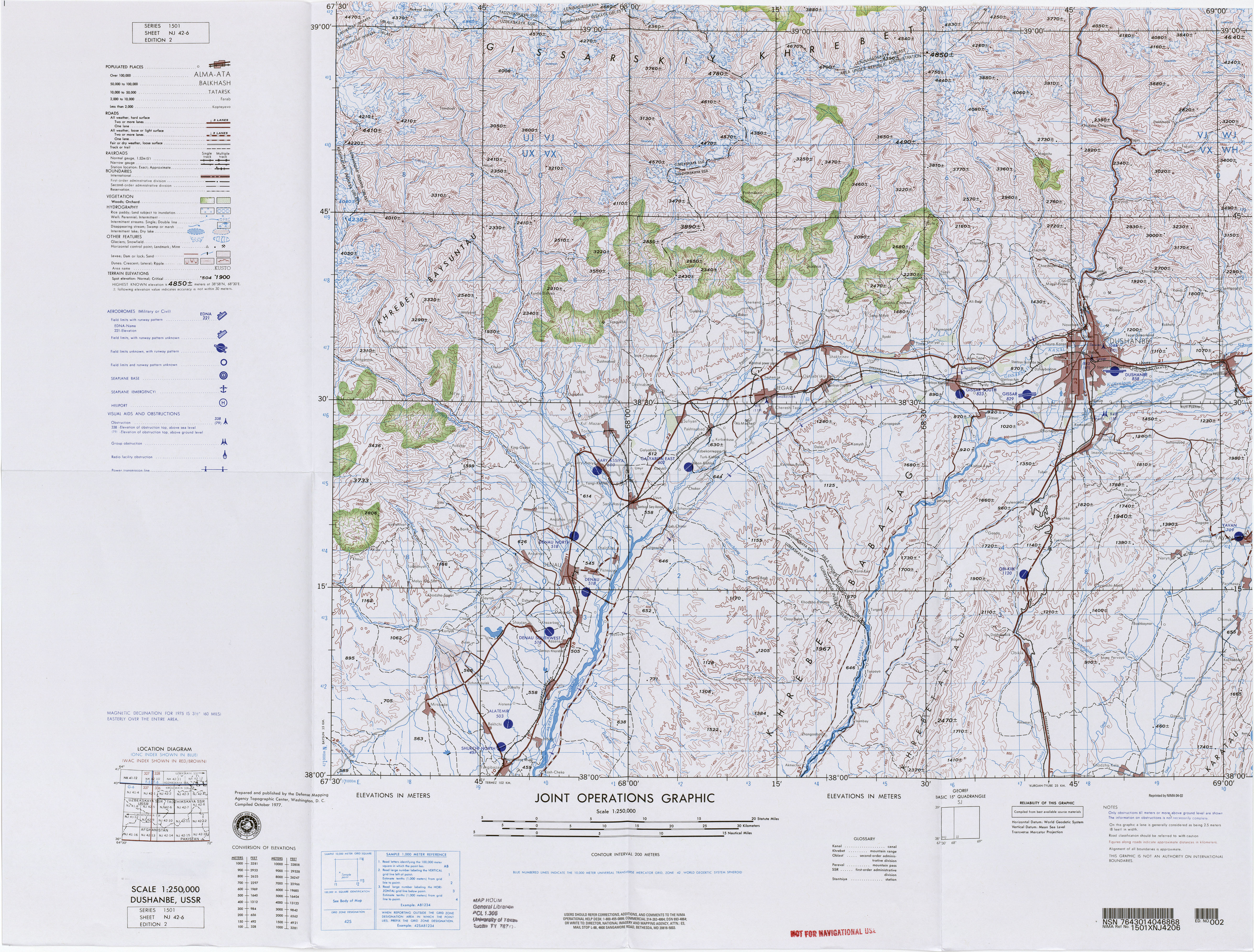
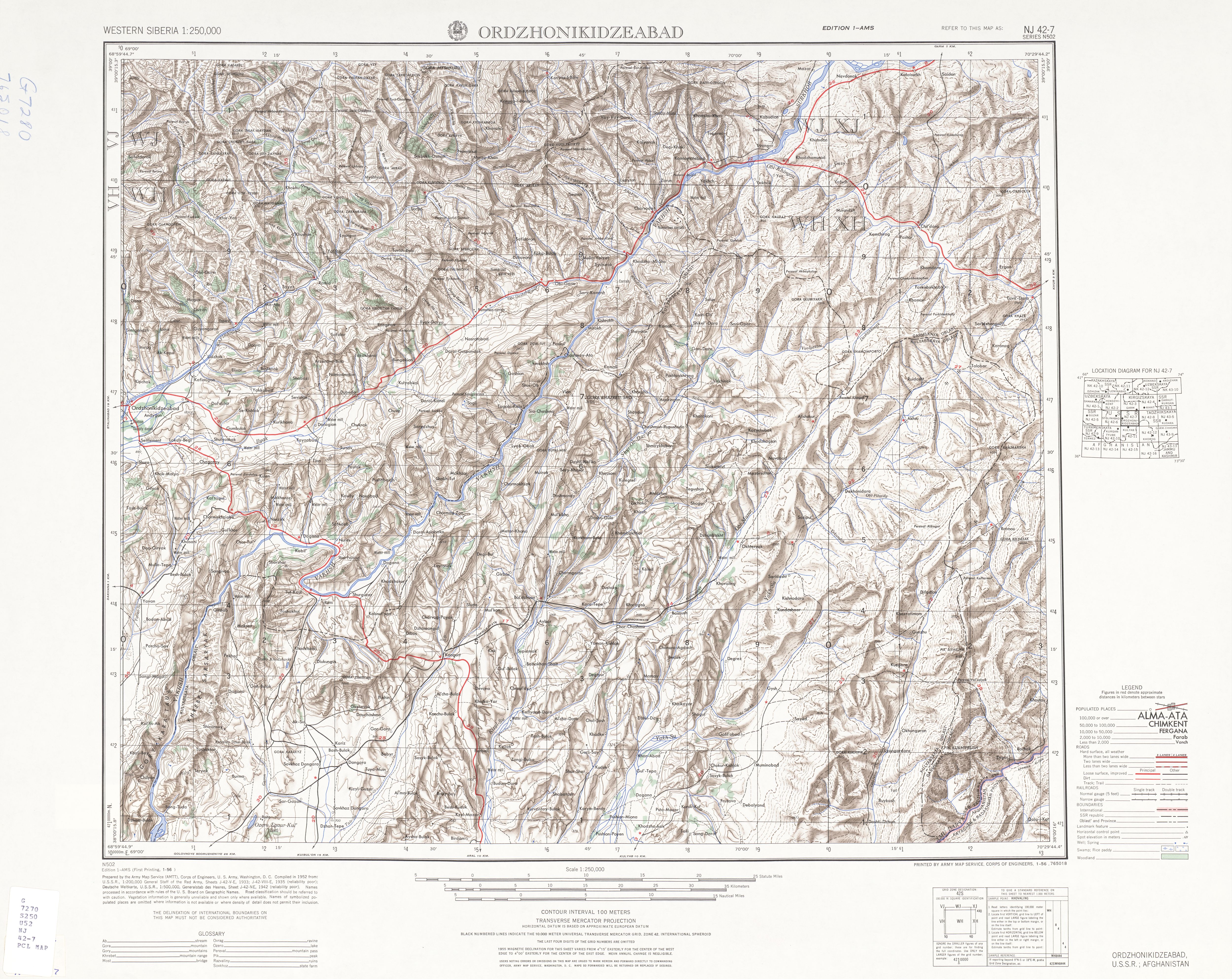
The Simiganj River (Симиганч, Симигандж) is a short, 24.5 km, river in western Tajikistan, central Asia.
It rises from an elevation of 1040 meters on the southwestern slopes of a mountain in the Gissar Range at 38°46′18″N 69°01′16″E / 38.77167°N 69.02111°E, flows past the town of Simiganj and enters the Kofarnihon River at the city of Vahdat, 38°34′07″N 69°01′07″E / 38.56861°N 69.01861°E.[1][2]
Notes
- ^ Topographic Map, Dushanbe, USSR, Joint Operations Graphic, NJ 42-6, 1:250,000, United States Defense Mapping Agency, October 1977
- ^ Topographic Map, Ordzhonikidzeabad, USSR; Afghanistan, Western Siberia, Series N502, NJ 42-7, 1:250,000, United States Army Map Service, January 1956