Ntete
Appearance
Ntete | |
|---|---|
| Coordinates: 12°59′13″S 39°50′15″E / 12.98694°S 39.83750°E | |
| Country | |
| Province | Cabo Delgado Province |
| District | Ancuabe District |
| Time zone | UTC+2 (Central Africa Time) |
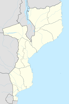
Ntete is a village in Ancuabe District in Cabo Delgado Province in northeastern Mozambique.[1]
It is located 1.2 miles (1.9 km) away from the district capital of Ancuabe on the southwestern outskirts of the town.
Transport
The nearest airport is 40 miles (64 km) away at Pemba Airport.
References
- ^ "NGA GeoName Database". National Geospatial Intelligence Agency. Archived from the original on 2008-06-08. Retrieved 2008-06-26.
External links

