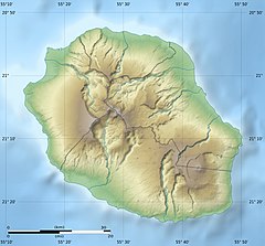
Bridal Veil Falls (Salazie)
Appearance
| Voile de la Mariée | |
|---|---|
| Bridal Veil Falls | |
 General view of the Bridal Veil | |
 | |
| Location | Réunion (France) |
| Coordinates | 21°02′24″S 55°32′18″E / 21.04°S 55.53833°E |
| Elevation | ~ 520 m |
| Watercourse | Branch of the Rivière du Mât |
The Bridal Veil Falls (French: Voile de la Mariée) is a waterfall on the island of Réunion. Located at about 500 m altitude along the mountainous rampart that separates the cirque Salazie and the plateau forest Bélouve, it falls within the territory of the commune of Salazie on the island of Réunion. A legend related to it: a father crying on the veil of her daughter fell into a deep precipice.
External links
 Media related to Voile de la Mariée (Salazie) at Wikimedia Commons
- Wondermondo Réunion[permanent dead link]

