
Bonefeld
Bonefeld | |
|---|---|
 Coat of arms | |
Location of Bonefeld within Neuwied district 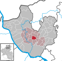 | |
 Bonefeld  Bonefeld | |
| Coordinates: 50°31′26″N 7°29′27″E / 50.52389°N 7.49083°E | |
| Country | Germany |
| State | Rhineland-Palatinate |
| District | Neuwied |
| Municipal assoc. | Rengsdorf-Waldbreitbach |
| Government | |
| • Mayor | Claus Gördes |
| Area | |
| • Total | 5.21 km2 (2.01 sq mi) |
| Elevation | 345 m (1,132 ft) |
| Population (2022-12-31)[1] | |
| • Total | 958 |
| • Density | 180/km2 (480/sq mi) |
| Time zone | UTC+01:00 (CET) |
| • Summer (DST) | UTC+02:00 (CEST) |
| Postal codes | 56579 |
| Dialling codes | 02634 |
| Vehicle registration | NR |
| Website | www.bonefeld.de |
Bonefeld is a municipality in the district of Neuwied, in Rhineland-Palatinate, Germany.
References
- ^ "Bevölkerungsstand 2022, Kreise, Gemeinden, Verbandsgemeinden" (PDF) (in German). Statistisches Landesamt Rheinland-Pfalz. 2023.

| International | |
|---|---|
| National | |
This Neuwied district location article is a stub. You can help Wikipedia by expanding it. |