
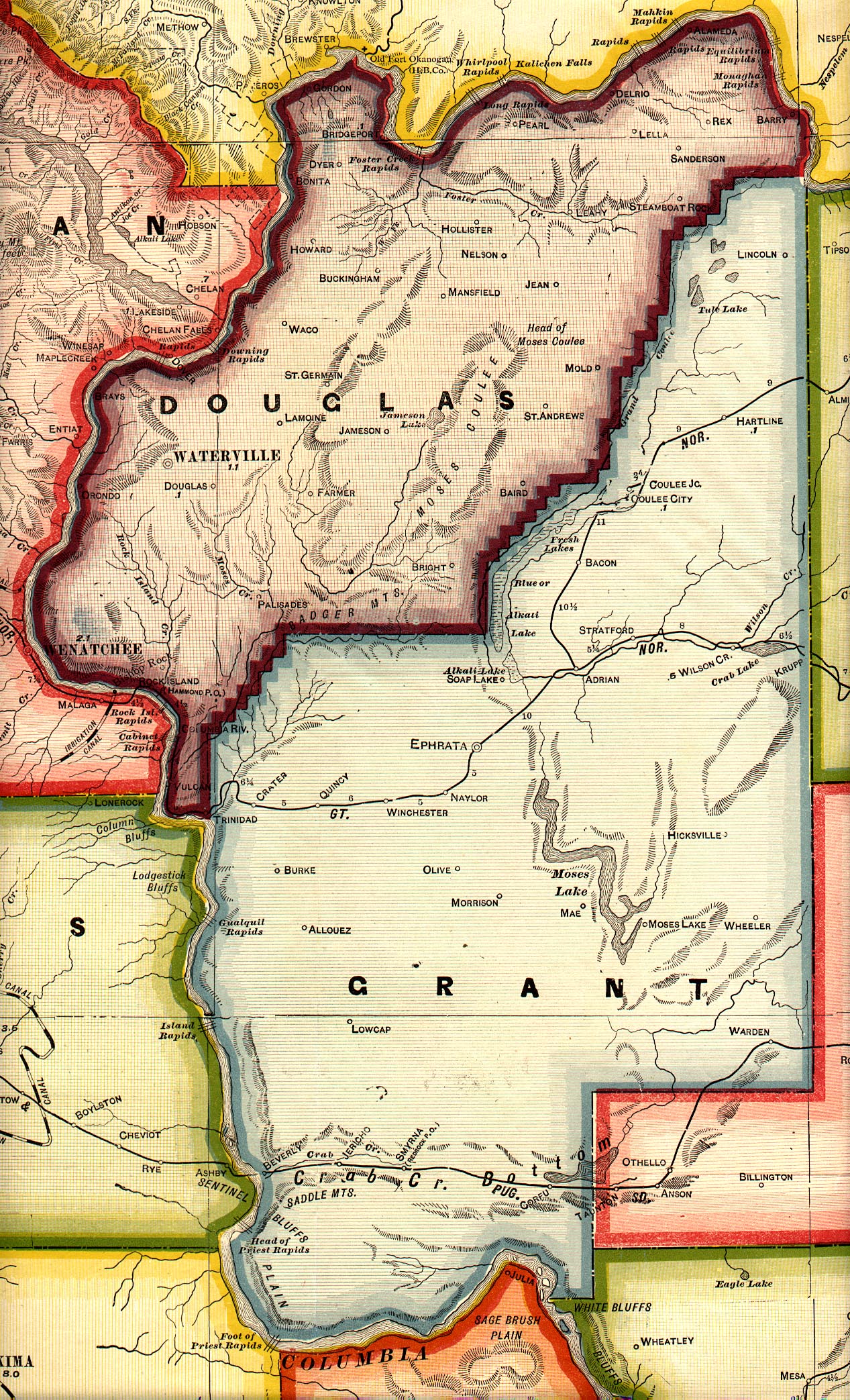
Baird, Washington
Baird is a ghost town in Douglas County, Washington, United States.[1] Baird is part of ZIP code 99115 and is home to the Highland Cemetery (also occasionally known as the Baird Cemetery). Baird appears on a 1909 map of Douglas County. The town was located about 7 miles (11 km) west of Coulee City, on the high ground between Moses Coulee and Grand Coulee.[2][3]
A post office called Baird was established in 1896, and remained in operation until 1934.[4] James Baird, an early postmaster, gave the town his name.[5]
References
- ^ U.S. Geological Survey Geographic Names Information System: Baird (historical)
- ^ http://www.usgwarchives.net/maps/washington/wa-crams/dougrant.jpg
- ^ "Archived copy". Archived from the original on 2011-07-26. Retrieved 2009-02-07.
{{cite web}}: CS1 maint: archived copy as title (link) - ^ "Post Offices". Jim Forte Postal History. Archived from the original on 6 March 2016. Retrieved 18 July 2016.
- ^ Meany, Edmond S. (1923). Origin of Washington geographic names. Seattle: University of Washington Press. p. 12.
47°37′13″N 119°28′11″W / 47.62028°N 119.46972°W
Municipalities and communities of Douglas County, Washington, United States | ||
|---|---|---|
| Cities | 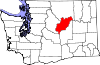 | |
| Towns | ||
| Unincorporated communities | ||
| Ghost towns | ||
| Footnotes | ‡This populated place also has portions in an adjacent county or counties | |
This Douglas County, Washington state location article is a stub. You can help Wikipedia by expanding it. |