
Mühlental
Mühlental | |
|---|---|
Location of Mühlental within Vogtlandkreis district 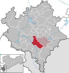 | |
 Mühlental  Mühlental | |
| Coordinates: 50°27′7″N 12°28′53″E / 50.45194°N 12.48139°E | |
| Country | Germany |
| State | Saxony |
| District | Vogtlandkreis |
| Subdivisions | 10 |
| Government | |
| • Mayor | Dieter Weller |
| Area | |
| • Total | 39.64 km2 (15.31 sq mi) |
| Elevation | 500 m (1,600 ft) |
| Population (2022-12-31)[1] | |
| • Total | 1,236 |
| • Density | 31/km2 (81/sq mi) |
| Time zone | UTC+01:00 (CET) |
| • Summer (DST) | UTC+02:00 (CEST) |
| Postal codes | 08626 |
| Dialling codes | 037464 |
| Vehicle registration | V, AE, OVL, PL, RC |
| Website | www.gemeinde-muehlental.de |
Mühlental is a municipality in the Vogtlandkreis district, in Saxony, Germany. It consists of the villages Hermsgrün, Wohlbach, Saalig, Marieney, Unterwürschnitz, Oberwürschnitz, Elstertal, Tirschendorf, Willitzgrün and Zaulsdorf.
References
- ^ "Einwohnerzahlen nach Gemeinden als Excel-Arbeitsmappe" (XLS) (in German). Statistisches Landesamt des Freistaates Sachsen. 2024.
| International | |
|---|---|
| National | |
This Vogtlandkreis location article is a stub. You can help Wikipedia by expanding it. |