Jump to content

Pacheco Island

Coordinates: 52°15′06″S 74°46′26″W / 52.251548°S 74.774022°W / -52.251548; -74.774022
From Wikipedia, the free encyclopedia

This is an old revision of this page, as edited by Jevansen (talk | contribs) at 00:31, 20 December 2019 (Moving from Category:Islands of Magallanes y la Antártica Chilena Region to Category:Islands of Magallanes Region using Cat-a-lot). The present address (URL) is a permanent link to this revision, which may differ significantly from the current revision.

Pacheco Island
Native name:
Isla Pacheco
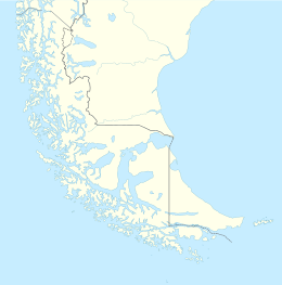
Pacheco Island is located in Southern Patagonia
Pacheco Island
Pacheco Island
Overview map with Pacheco Island (red point) at the western mouth of the Strait of Magellan
Geography
Coordinates52°15′06″S 74°46′26″W / 52.251548°S 74.774022°W / -52.251548; -74.774022
ArchipelagoQueen Adelaide Archipelago
Adjacent toPacific ocean
Area156.8 km2 (60.5 sq mi)
Coastline91.9 km (57.1 mi)
Administration
RegionMagallanes y la Antártica Chilena
Additional information
NGA UFI=-894547

Pacheco Island is an island between Vidal Gomez Island and Victoria Island at the north shore of the West entrance of the Strait of Magellan in Chile.

See also

External links