
Dos Poços River
| Dos Poços River | |
|---|---|
 | |
| Location | |
| Country | Brazil |
| Physical characteristics | |
| Source | |
| • location | Rio de Janeiro state |
| Mouth | Queimados River |
• coordinates | 22°46′S 43°37′W / 22.767°S 43.617°W |
The Dos Poços River is a river of Rio de Janeiro state in southeastern Brazil. It is a tributary of the Queimados River.
See also
[edit]References
[edit]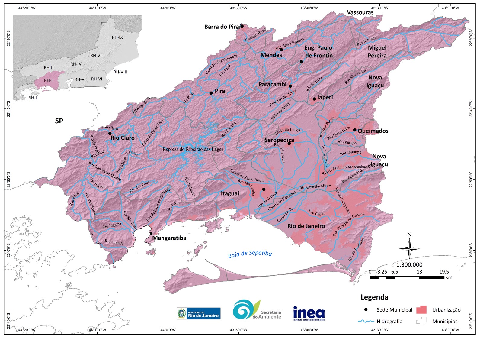