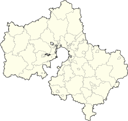
Altukhovo, Gololobovskoye Rural Settlement, Zaraysky District, Moscow Oblast
Appearance
Altukhovo
Алтухово | |
|---|---|
Village | |
| Coordinates: 54°50′37″N 38°56′38″E / 54.84361°N 38.94389°E | |
| Country | Russia |
| Federal subject | Moscow Oblast |
| Population | |
| • Estimate (2008) | 44[1] |
| • Municipal district | Zaraysky District |
| • Rural settlement | Gololobovkoye Rural Settlement |
| Time zone | UTC+3 (MSK |
| Postal code(s)[3] | 140612 |
| OKTMO ID | 46616408106 |
Altukhovo (Russian: Алтухово) is a rural locality (a village) in Zaraysky District of Moscow Oblast, Russia. It is located 9.5 kilometers (5.9 mi) north from Zaraysk near the Lukhovitsy-Zaraysk road.
References
- ^ http://www.bankgorodov.ru/place/inform.php?id=75404
- ^ "Об исчислении времени". Официальный интернет-портал правовой информации (in Russian). 3 June 2011. Retrieved 19 January 2019.
- ^ Почтовые индексы России (Postal Codes of Russia) (in Russian)


