
Georgenthal
Georgenthal | |
|---|---|
 Saint Elisabeth Church | |
 Coat of arms | |
Location of Georgenthal within Gotha district 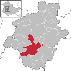 | |
 Georgenthal  Georgenthal | |
| Coordinates: 50°49′0″N 10°40′0″E / 50.81667°N 10.66667°E | |
| Country | Germany |
| State | Thuringia |
| District | Gotha |
| Government | |
| • Mayor | Bert Rommeiß |
| Area | |
| • Total | 74.76 km2 (28.86 sq mi) |
| Elevation | 390 m (1,280 ft) |
| Population (2022-12-31)[1] | |
| • Total | 7,991 |
| • Density | 110/km2 (280/sq mi) |
| Time zone | UTC+01:00 (CET) |
| • Summer (DST) | UTC+02:00 (CEST) |
| Postal codes | 99887 |
| Dialling codes | 036253 |
| Vehicle registration | GTH |
| Website | www |
Georgenthal is a municipality in the district of Gotha, in Thuringia, Germany. The former municipalities Leinatal, Hohenkirchen and Petriroda were merged into Georgenthal in December 2019.
References

| International | |
|---|---|
| National | |
| Geographic | |
This Gotha district location article is a stub. You can help Wikipedia by expanding it. |